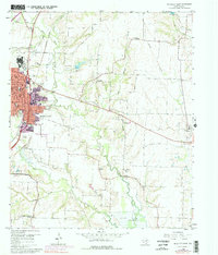
1960 Map of McKinney East
USGS Topo · Published 1977About this map
Mc Kinney is the focal point of this 1960s study, showing the city's eastward growth before the major suburban expansion of later decades. The urban grid is defined by streets such as Pearson Ave and Standifer Street, with infrastructure including the VA Hospital and Municipal Golf Course on the northwestern edge. A distinct transition occurs as the landscape moves from the city core to the rural agricultural lands of Collin County, marked by numerous quarries and small rural communities like New Hope and Milligan.
Find a feature on this map
39 named features on this map. Tap any name to fly to it.
Don’t see what you’re looking for? This feature index may not catch every label — zoom into the map to look around manually.
Map Details
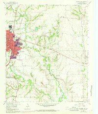
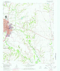
Editions of this 1960 McKinney East Map
4 editions found
Other maps of this area

1924 · Farmersville 3-c
USGS Topo · 1:48,000

1924 · Mc Kinney 4-d
USGS Topo · 1:48,000

1929 · McKinney
USGS Topo · 1:62,500

1930 · Farmersville
USGS Topo · 1:62,500

1954 · Sherman
USGS Topo · 1:250,000

1958 · Sherman
USGS Topo · 1:250,000

1959 · Wylie
USGS Topo · 1:24,000

1960 · McKinney East
USGS Topo · 1:24,000

1960 · Plano
USGS Topo · 1:24,000

1960 · Blue Ridge
USGS Topo · 1:24,000