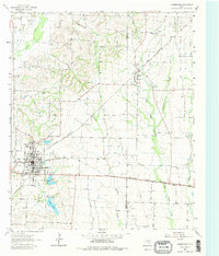
1962 Map of Farmersville
USGS Topo · Published 1980About this map
The intersection of the Gulf Colorado and Santa Fe and the Louisiana and Arkansas railroads anchors the town of Farmersville, serving as a vital transportation hub in Collin County during the early 1960s. This agricultural landscape is characterized by the branching headwaters of several drainages, including Brushy Creek, Cedar Creek, and Middle Caddo Creek. North of the town center, North Lake and South Lake provide early municipal water storage near the Markham settlement.
Find a feature on this map
36 named features on this map. Tap any name to fly to it.
Don’t see what you’re looking for? This feature index may not catch every label — zoom into the map to look around manually.
Map Details
Editions of this 1962 Farmersville Map
Other maps of this area

1924 · Farmersville 3-c
USGS Topo · 1:48,000

1930 · Farmersville
USGS Topo · 1:62,500

1954 · Sherman
USGS Topo · 1:250,000

1958 · Sherman
USGS Topo · 1:250,000

1960 · Blue Ridge
USGS Topo · 1:24,000

1960 · Pike
USGS Topo · 1:24,000

1960 · Culleoka
USGS Topo · 1:24,000

1962 · Greenville NW
USGS Topo · 1:24,000

1962 · Greenville SW
USGS Topo · 1:24,000

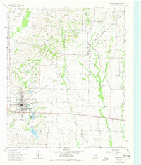
1962 · Farmersville
USGS Topo · 1:24,000