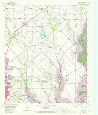
1959 Map of Rowlett
USGS Topo · Published 1969About this map
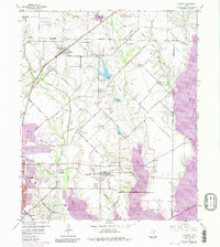
Lake Ray Hubbard dominates the southeastern portion of this landscape, its rising waters reshaping the valley of the East Fork Trinity River and Muddy Creek. Published with revisions in the late 1960s, the map documents the transition of northern Dallas County from a rural farming district to a burgeoning suburban frontier. Early settlement nodes like Sachse and Pleasant Valley remain distinct, while the expansion of Garland begins to push eastward toward the shores of the new reservoir.
Find a feature on this map
50 named features on this map. Tap any name to fly to it.
Don’t see what you’re looking for? This feature index may not catch every label — zoom into the map to look around manually.
Map Details
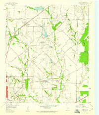
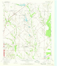
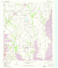
Editions of this 1959 Rowlett Map
6 editions found
Other maps of this area

1891 · Dallas
USGS Topo · 1:125,000

1893 · Dallas
USGS Topo · 1:125,000

1912 · Rockwall
USGS Topo · 1:31,680

1919 · Royse City
USGS Topo · 1:62,500

1924 · Farmersville 3-c
USGS Topo · 1:48,000

1924 · Mc Kinney 4-d
USGS Topo · 1:48,000

1929 · McKinney
USGS Topo · 1:62,500

1930 · Farmersville
USGS Topo · 1:62,500

1954 · Dallas
USGS Topo · 1:250,000

1954 · Sherman
USGS Topo · 1:250,000