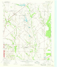
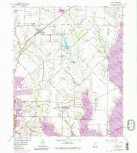
1959 Map of Rowlett
USGS Topo · Published 1968About this map
Rowlett and its neighboring communities in Dallas, Collin, and Rockwall counties are captured here just before the era of major suburban expansion. The landscape is characterized by a network of winding watercourses, most notably the East Fork Trinity River with its prominent Horseshoe Bend and the convergence of Rowlett Creek and Muddy Creek. At this time, smaller rural settlements like Sachse, Pleasant Valley, and Liberty Grove maintain their distinct identities, linked by regional arteries such as Lavon Drive and Merritt Road.
Find a feature on this map
51 named features on this map. Tap any name to fly to it.
Don’t see what you’re looking for? This feature index may not catch every label — zoom into the map to look around manually.
Map Details
Editions of this 1959 Rowlett Map
6 editions found
Other maps of this area

1891 · Dallas
USGS Topo · 1:125,000

1893 · Dallas
USGS Topo · 1:125,000

1912 · Rockwall
USGS Topo · 1:31,680

1919 · Royse City
USGS Topo · 1:62,500

1924 · Farmersville 3-c
USGS Topo · 1:48,000

1924 · Mc Kinney 4-d
USGS Topo · 1:48,000

1929 · McKinney
USGS Topo · 1:62,500

1930 · Farmersville
USGS Topo · 1:62,500

1954 · Dallas
USGS Topo · 1:250,000

1954 · Sherman
USGS Topo · 1:250,000