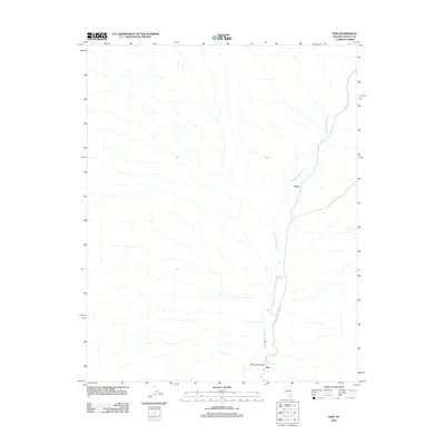
2012 Map of Rox
USGS Topo · Published 2012About this map
Meadow Valley Wash defines the north-south axis of this high desert terrain in Lincoln County, where the narrow drainage provides a vital corridor through an otherwise arid landscape. The map centers on the small rail-side settlements of Hoya and Rox, markers of the transportation network that follows the natural path of the wash. These outposts, situated along the Meadow Valley Wash Rd, represent the sparse human footprint in a region dominated by drainage patterns and seasonal water sources like Upper Cone Springs and Grape Vine Spring. The topography transitions from the broad wash into the rising walls of Mormon Canyon, a landscape where every named spring and canyon served as a critical landmark for early travel and ranching in eastern Nevada.
Find a feature on this map
7 named features on this map. Tap any name to fly to it.
Don’t see what you’re looking for? This feature index may not catch every label — zoom into the map to look around manually.
Map Details
Editions of this 2012 Rox Map
This is the sole edition of this map. No revisions or reprints were ever made.
Other maps of this area

1885 · Pioche
USGS Topo · 1:250,000

1886 · Saint Thomas
USGS Topo · 1:250,000

1886 · Pioche
USGS Topo · 1:250,000

1893 · Saint Thomas
USGS Topo · 1:250,000

1954 · Caliente
USGS Topo · 1:250,000

1954 · Las Vegas
USGS Topo · 1:250,000

1957 · Las Vegas
USGS Topo · 1:250,000

1959 · Caliente
USGS Topo · 1:250,000

1959 · Las Vegas
USGS Topo · 1:250,000

1962 · Las Vegas
USGS Topo · 1:250,000