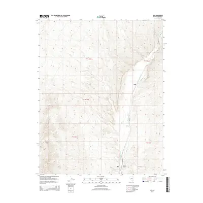
2014 Map of Rox
USGS Topo · Published 2014About this map
Meadow Valley Wash defines the north-south geography of this Lincoln County corridor, providing a vital riparian passage through the desert. The landscape is marked by the small settlements of Rox and Hoya, positioned along the wash where it meets topographic relief. The terrain transitions from the broader wash floor to the steeper contours of Mormon Canyon and the surrounding high ground. Water remains the critical driver of local placement, evidenced by Upper Cane Springs and Grape Vine Spring situated near the drainage. Transportation through this remote stretch is facilitated by Moapa Rd and Rox Canyon Rd, which navigate the elevation changes between the wash and the neighboring hills. These infrastructure markings reflect the area's continued reliance on the natural corridors established by the drainage network and canyon systems.
Find a feature on this map
13 named features on this map. Tap any name to fly to it.
Don’t see what you’re looking for? This feature index may not catch every label — zoom into the map to look around manually.
Map Details
Editions of this 2014 Rox Map
This is the sole edition of this map. No revisions or reprints were ever made.
Other maps of this area

1885 · Pioche
USGS Topo · 1:250,000

1886 · Saint Thomas
USGS Topo · 1:250,000

1886 · Pioche
USGS Topo · 1:250,000

1893 · Saint Thomas
USGS Topo · 1:250,000

1954 · Caliente
USGS Topo · 1:250,000

1954 · Las Vegas
USGS Topo · 1:250,000

1957 · Las Vegas
USGS Topo · 1:250,000

1959 · Caliente
USGS Topo · 1:250,000

1959 · Las Vegas
USGS Topo · 1:250,000

1962 · Las Vegas
USGS Topo · 1:250,000