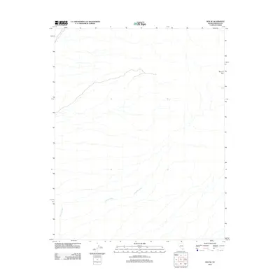
2012 Map of Rox NE
USGS Topo · Published 2012About this map
Mormon Peak towers over this high-desert landscape in Lincoln County, defining the northeastern horizon near the border of the Rox NE quadrangle. The terrain is characterized by a complex network of ephemeral drainages and dry washes that transition from the slopes of the peak toward the lower basins. Significant hydrologic features include the broad Meadow Valley Wash in the northwest and the winding course of Whitmore Wash as it cuts through the southern half of the sheet. Water is a scarce but vital resource here, marked by the remote Davies Spring found on the eastern edge of the survey. This 2012 map documents the region's topographical relief and isolated landmarks at the start of the twenty-first century, showing a landscape largely defined by its natural watercourses and significant elevation changes.
Find a feature on this map
4 named features on this map. Tap any name to fly to it.
Don’t see what you’re looking for? This feature index may not catch every label — zoom into the map to look around manually.
Map Details
Editions of this 2012 Rox NE Map
This is the sole edition of this map. No revisions or reprints were ever made.
Other maps of this area

1885 · Pioche
USGS Topo · 1:250,000

1886 · Saint Thomas
USGS Topo · 1:250,000

1886 · Pioche
USGS Topo · 1:250,000

1893 · Saint Thomas
USGS Topo · 1:250,000

1954 · Caliente
USGS Topo · 1:250,000

1954 · Las Vegas
USGS Topo · 1:250,000

1957 · Las Vegas
USGS Topo · 1:250,000

1959 · Caliente
USGS Topo · 1:250,000

1959 · Las Vegas
USGS Topo · 1:250,000

1962 · Las Vegas
USGS Topo · 1:250,000