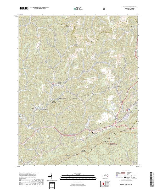
2022 Map of Roxana
USGS Topo · Published 2022About this map
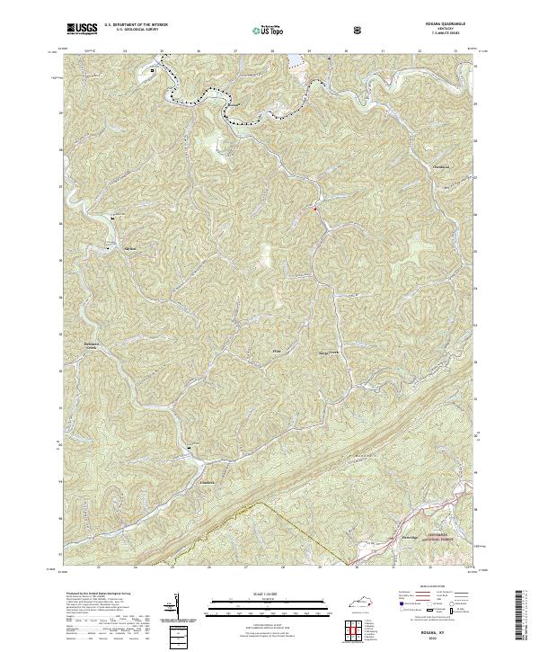
Pine Mountain dominates the southern landscape of this Letcher County survey, where the Jefferson National Forest meets the steep coal-bearing hollows of eastern Kentucky. The settlement of Linefork sits at the foot of the ridge, while higher up, the Little Shepherd Trl follows the crest. The map reveals the intricate family-centered topography of the region, featuring numerous burial sites such as the Ison and Cornett Cem and Morgan Cem. The industrial character of the era is evident in the presence of the Black Diamond Coal Corp and infrastructure like Fox East Coal Mine Rd. In the north, the North Fork Kentucky River winds through the valley near Roxana, joined by dozens of named branches like Kings Cr and Kingdom Come Cr that highlight the area's complex drainage network.
Find a feature on this map
92 named features on this map. Tap any name to fly to it.
Don’t see what you’re looking for? This feature index may not catch every label — zoom into the map to look around manually.
Map Details
Editions of this 2022 Roxana Map
This is the sole edition of this map. No revisions or reprints were ever made.
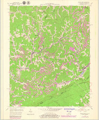
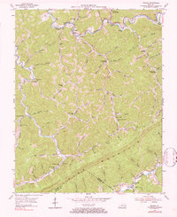
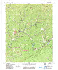
Historical Maps of Partridge Through Time
6 maps found