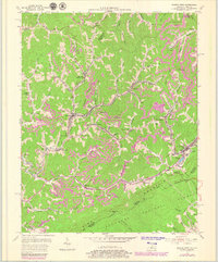
1954 Map of Jenkins West
USGS Topo · Published 1979About this map
The coalfield landscape of the Cumberland Plateau is on full display here, where the Chesapeake and Ohio railroad snakes through narrow valleys to serve a string of mining towns. The geography is dominated by Pine Mountain along the southern border, which forms the boundary between Kentucky and Virginia at Pound Gap. The settlement pattern is dictated by the steep topography, with communities like Neon, Fleming, and McRoberts clustered along the forks of the Elkhorn Creek and its many branches.
Find a feature on this map
81 named features on this map. Tap any name to fly to it.
Don’t see what you’re looking for? This feature index may not catch every label — zoom into the map to look around manually.
Map Details
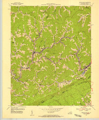
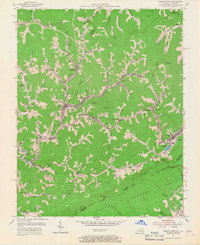
Editions of this 1954 Jenkins West Map
3 editions found
Other maps of this area

1890 · Whitesburg
USGS Topo · 1:125,000

1892 · Whitesburg
USGS Topo · 1:125,000

1912 · Pound
USGS Topo · 1:48,000

1912 · Hindman
USGS Topo · 1:48,000

1913 · Oven Fork
USGS Topo · 1:48,000

1914 · Pound
USGS Topo · 1:62,500

1914 · Vergie
USGS Topo · 1:48,000

1915 · Hindman
USGS Topo · 1:62,500

1915 · Whitesburg
USGS Topo · 1:62,500

1916 · Pikeville
USGS Topo · 1:62,500