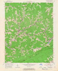
1954 Map of Jenkins West
USGS Topo · Published 1967About this map
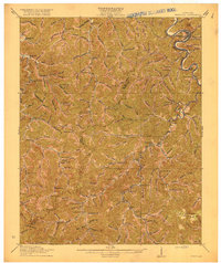
The Kentucky River and its upper tributaries carve through the coal-rich mountains of Letcher County, defining a landscape of narrow valleys and high ridges in the mid-1950s. High on the southern edge, Pine Mountain marks the border with Virginia, with Pound Gap serving as a critical passage into the Jefferson National Forest. This era shows a densely populated industrial corridor where the Louisville and Nashville Railroad and the Chesapeake and Ohio Railroad snake through towns like Neon, Fleming, and McRoberts.
Find a feature on this map
80 named features on this map. Tap any name to fly to it.
Don’t see what you’re looking for? This feature index may not catch every label — zoom into the map to look around manually.
Map Details
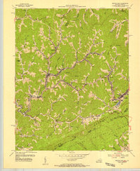
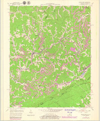
Editions of this 1954 Jenkins West Map
3 editions found
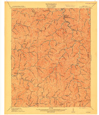
Other maps of this area

1890 · Whitesburg
USGS Topo · 1:125,000

1892 · Whitesburg
USGS Topo · 1:125,000

1912 · Pound
USGS Topo · 1:48,000

1912 · Hindman
USGS Topo · 1:48,000

1913 · Oven Fork
USGS Topo · 1:48,000

1914 · Pound
USGS Topo · 1:62,500

1914 · Vergie
USGS Topo · 1:48,000
1915 · Hindman
USGS Topo · 1:62,500

1915 · Whitesburg
USGS Topo · 1:62,500
1916 · Pikeville
USGS Topo · 1:62,500