
1916 Map of Pikeville
USGS Topo · Published 1916About this map
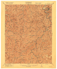
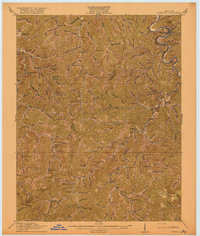
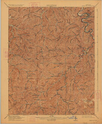
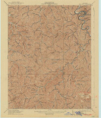
Pikeville sits at a prominent bend of the Levisa Fork, serving as the primary anchor for a landscape defined by deep-cut hollows and numerous mountain settlements. This 1914 survey captures the region just as the Chesapeake and Ohio railroad began to reshape the local economy, connecting coal and timber interests through stops like Caney Siding, Penny Sta, and Myra Sta. The map reveals a dense network of numbered schoolhouses, such as School No 25 and School No 8, which were central to rural life in Pike and Floyd Counties before modern consolidation. From the industrial activity at Weeksbury to the quiet presence of James Chapel near Shelby Creek, the sheet provides a meticulous record of early twentieth-century Appalachian settlement patterns along the Kentucky-Virginia border region, including the high plateau of the Flatwoods in the southeast.
Find a feature on this map
114 named features on this map. Tap any name to fly to it.
Don’t see what you’re looking for? This feature index may not catch every label — zoom into the map to look around manually.
Map Details
Editions of this 1916 Pikeville Map
5 editions found
Other maps of this area

1886 · Prestonsburg
USGS Topo · 1:125,000

1886 · Grundy
USGS Topo · 1:125,000

1887 · Warfield
USGS Topo · 1:125,000

1890 · Whitesburg
USGS Topo · 1:125,000

1890 · Grundy
USGS Topo · 1:125,000

1891 · Warfield
USGS Topo · 1:125,000

1892 · Grundy
USGS Topo · 1:125,000

1892 · Whitesburg
USGS Topo · 1:125,000

1892 · Prestonsburg
USGS Topo · 1:125,000

1912 · Pound
USGS Topo · 1:48,000