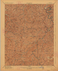
1916 Map of Pikeville
USGS Topo · Published 1927About this map
The Pikeville area at the start of the twentieth century was a landscape of intricate drainages and scattered rural schoolhouses. The Levisa Fork cuts a winding path through the eastern portion of the terrain, followed closely by the Chesapeake and Ohio railroad. This rail line served as the primary connection for communities like Harold, Kewanee, and Yeager. The settlement pattern follows the narrow creek valleys, with numerous numbered schools, such as School No 17 and School No 25, serving isolated upland communities.
Find a feature on this map
109 named features on this map. Tap any name to fly to it.
Don’t see what you’re looking for? This feature index may not catch every label — zoom into the map to look around manually.
Map Details
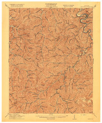
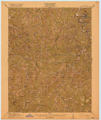
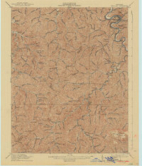
Editions of this 1916 Pikeville Map
5 editions found

Other maps of this area

1886 · Prestonsburg
USGS Topo · 1:125,000

1886 · Grundy
USGS Topo · 1:125,000

1887 · Warfield
USGS Topo · 1:125,000

1890 · Whitesburg
USGS Topo · 1:125,000

1890 · Grundy
USGS Topo · 1:125,000

1891 · Warfield
USGS Topo · 1:125,000

1892 · Grundy
USGS Topo · 1:125,000

1892 · Whitesburg
USGS Topo · 1:125,000

1892 · Prestonsburg
USGS Topo · 1:125,000

1912 · Pound
USGS Topo · 1:48,000