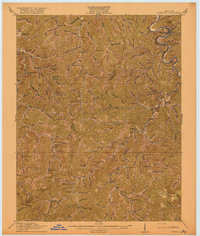
1916 Map of Pikeville
USGS Topo · Published 1916About this map
Levisa Fork winds through the eastern edge of this 1914 survey, anchoring the regional hub of Pikeville. The landscape is defined by an intricate network of narrow hollows and ridge-top boundaries separating Floyd and Pike counties. Development follows the water, with the Chesapeake and Ohio railroad corridor facilitating the growth of timber and coal outposts like Penny Sta, Caney Siding, and Myra Sta.
Find a feature on this map
128 named features on this map. Tap any name to fly to it.
Don’t see what you’re looking for? This feature index may not catch every label — zoom into the map to look around manually.
Map Details
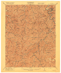
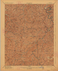
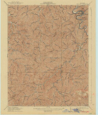
Editions of this 1916 Pikeville Map
5 editions found

Other maps of this area

1886 · Prestonsburg
USGS Topo · 1:125,000

1886 · Grundy
USGS Topo · 1:125,000

1887 · Warfield
USGS Topo · 1:125,000

1890 · Whitesburg
USGS Topo · 1:125,000

1890 · Grundy
USGS Topo · 1:125,000

1891 · Warfield
USGS Topo · 1:125,000

1892 · Grundy
USGS Topo · 1:125,000

1892 · Whitesburg
USGS Topo · 1:125,000

1892 · Prestonsburg
USGS Topo · 1:125,000

1912 · Pound
USGS Topo · 1:48,000