
1915 Map of Hindman
USGS Topo · Published 1915About this map
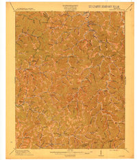
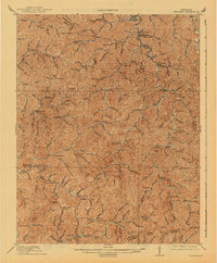
Hindman serves as a central hub in this 1915 survey of the Cumberland Plateau's eastern edge, where the landscape is defined by an intricate network of hollows and forks. The map reveals a society organized strictly by its waterways, with small settlements like Hippo, Bolyn, and Mallie tucked into narrow valleys. Education was highly localized at the time, evidenced by the numerous numbered schoolhouses such as School No 12 and School No 13 scattered across the ridges, along with the distinct WC TU School. Transportation follows the winding paths of Troublesome Creek and the Middle Fork Quicksand Creek. In the northeast corner, the presence of Garrett Sta. and Stonecoal suggests the early industrial influence of the railroad and coal mining reaching into this pocket of the Kentucky mountains, while landmarks like Poplar Gap and Yellow Mountain provided essential navigation points for residents traveling between the scattered forks of the Kentucky and Big Sandy rivers.
Find a feature on this map
183 named features on this map. Tap any name to fly to it.
Don’t see what you’re looking for? This feature index may not catch every label — zoom into the map to look around manually.
Map Details
Editions of this 1915 Hindman Map
4 editions found

Other maps of this area

1886 · Prestonsburg
USGS Topo · 1:125,000

1889 · Salyersville
USGS Topo · 1:125,000

1890 · Whitesburg
USGS Topo · 1:125,000

1891 · Hazard
USGS Topo · 1:125,000

1891 · Salyersville
USGS Topo · 1:125,000

1892 · Whitesburg
USGS Topo · 1:125,000

1892 · Prestonsburg
USGS Topo · 1:125,000

1899 · Salyersville
USGS Topo · 1:125,000

1912 · Pound
USGS Topo · 1:48,000

1912 · Hindman
USGS Topo · 1:48,000