
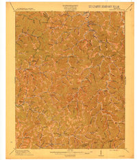
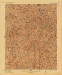
1915 Map of Hindman
USGS Topo · Published 1925About this map
Hindman serves as a focal point in this 1912 survey of the Eastern Kentucky coalfields, where the landscape is defined by an intricate network of narrow hollows and high ridges. The map reveals a pre-industrial infrastructure dominated by localized community centers, often marked by the numerous numbered schoolhouses scattered throughout the hills, such as School No 1 and Quicksand School. Settlements like Hueysville PO, Stonecoal, and Garrett highlight the early 20th-century development of Knott, Floyd, and Magoffin counties before extensive modern highway expansion. The drainage patterns of Troublesome Creek and the Middle Fork Quicksand Creek dictate the placement of roads and homesteads, while landmarks like Yellow Mountain and Beaver Gap illustrate the formidable terrain that isolated these mountain communities. For genealogists, the map provides a valuable spatial record of family settlements along branches like Stillhouse Br and Irishman Creek.
Find a feature on this map
125 named features on this map. Tap any name to fly to it.
Don’t see what you’re looking for? This feature index may not catch every label — zoom into the map to look around manually.
Map Details
Editions of this 1915 Hindman Map
4 editions found

Other maps of this area

1886 · Prestonsburg
USGS Topo · 1:125,000

1889 · Salyersville
USGS Topo · 1:125,000

1890 · Whitesburg
USGS Topo · 1:125,000

1891 · Hazard
USGS Topo · 1:125,000

1891 · Salyersville
USGS Topo · 1:125,000

1892 · Whitesburg
USGS Topo · 1:125,000

1892 · Prestonsburg
USGS Topo · 1:125,000

1899 · Salyersville
USGS Topo · 1:125,000

1912 · Pound
USGS Topo · 1:48,000

1912 · Hindman
USGS Topo · 1:48,000