Loading...
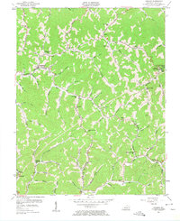
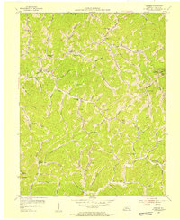
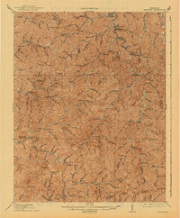
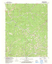
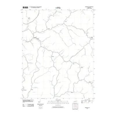
Loading map...1954 Map of Hindman
USGS Topo · Published 1962About this map
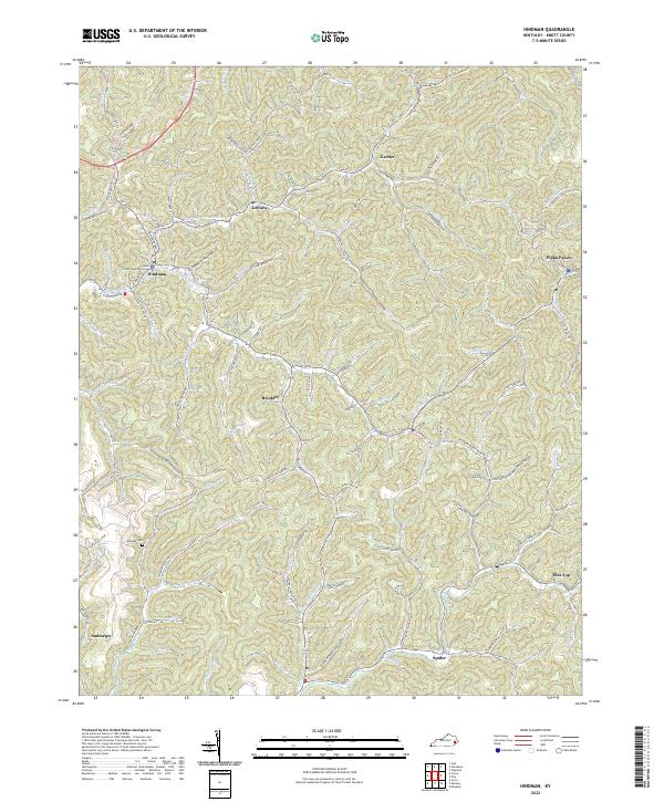
Hindman serves as the focal point of this mid-century survey, situated at the confluence of several narrow valleys where Troublesome Creek meets Betty Troublesome Creek. The landscape is defined by its intricate network of winding hollows and branches, such as Irishman Creek and Carr Fork, which dictated the settlement patterns of Knott County during this era. Small communities and family settlements are scattered throughout the hills, connected by local roads that follow the watercourses.
Find a feature on this map
76 named features on this map. Tap any name to fly to it.
Don’t see what you’re looking for? This feature index may not catch every label — zoom into the map to look around manually.
Map Details
Date Portrayed1954
Date Published1962
PublisherU.S. Geological Survey
Map TypeTopographic
Scale1:24,000
Physical Dimensions22 x 27 inches
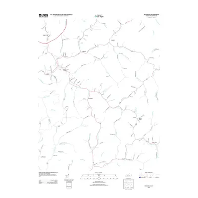
Editions of this 1954 Hindman Map
2 editions found
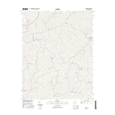
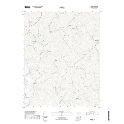
Historical Maps of Hindman Through Time
9 maps found

Featured Locations
Source Details
SourceU.S. Geological Survey
CopyrightPublic Domain