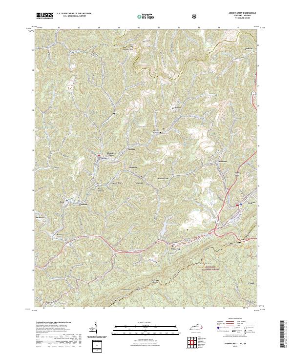
2022 Map of Jenkins West
USGS Topo · Published 2022About this map
Pine Mountain dominates the southern landscape of this Letcher County, Kentucky region, forming a natural boundary between the Commonwealth and Virginia. Along the northern slopes, the dense network of mining and residential communities including McRoberts, Fleming-Neon, Haymond, and Cromona reflects the enduring footprint of the Cumberland Plateau's coal-driven development. The headwaters of the N Fork Kentucky River begin their westward journey here, while landmarks like Pound Gap and Payne Gap serve as critical historic passages through the mountain ridges.
Find a feature on this map
131 named features on this map. Tap any name to fly to it.
Don’t see what you’re looking for? This feature index may not catch every label — zoom into the map to look around manually.
Map Details
Editions of this 2022 Jenkins West Map
This is the sole edition of this map. No revisions or reprints were ever made.
Other maps of this area

1890 · Whitesburg
USGS Topo · 1:125,000

1892 · Whitesburg
USGS Topo · 1:125,000

1912 · Pound
USGS Topo · 1:48,000

1912 · Hindman
USGS Topo · 1:48,000

1913 · Oven Fork
USGS Topo · 1:48,000

1914 · Pound
USGS Topo · 1:62,500

1914 · Vergie
USGS Topo · 1:48,000

1915 · Hindman
USGS Topo · 1:62,500

1915 · Whitesburg
USGS Topo · 1:62,500

1916 · Pikeville
USGS Topo · 1:62,500