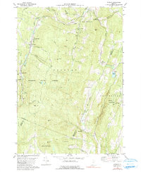
1980 Map of Roxbury
USGS Topo · Published 1991About this map
The Central Vermont railroad corridor anchors the mountain terrain of this 1980s quadrangle, following the narrow valley carved by the Dog River. This central spine connects the village of Roxbury with its neighbors South Northfield and Roxbury Flat, where the local landscape is defined by the transition between the Roxbury State Forest and the surrounding ridgelines of Drinkwater Hill and Cram Hill. The presence of the State Fish Hatchery and several rural churches, including St Helena Ch and the United Ch, points to a well-established community fabric set against the wooded uplands.
Find a feature on this map
59 named features on this map. Tap any name to fly to it.
Don’t see what you’re looking for? This feature index may not catch every label — zoom into the map to look around manually.
Map Details
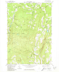
Editions of this 1980 Roxbury Map
2 editions found
Other maps of this area

1915 · Rochester
USGS Topo · 1:62,500

1917 · Rochester
USGS Topo · 1:62,500

1919 · Royalton
USGS Topo · 1:62,500

1919 · Lincoln Mountain
USGS Topo · 1:62,500

1920 · Lincoln Mountain
USGS Topo · 1:48,000

1921 · Lincoln Mountain
USGS Topo · 1:62,500

1922 · Barre
USGS Topo · 1:48,000

1924 · Barre
USGS Topo · 1:62,500

1924 · Randolph
USGS Topo · 1:48,000

1926 · Randolph
USGS Topo · 1:62,500