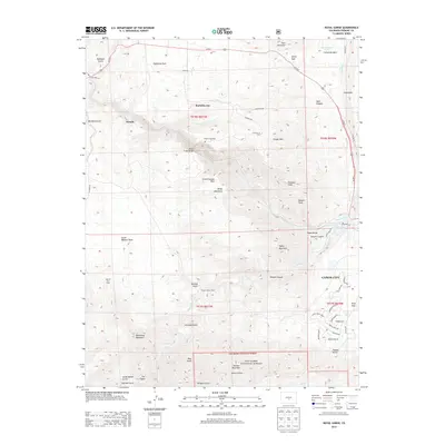
2013 Map of Royal Gorge
USGS Topo · Published 2013About this map
The Royal Gorge Bridge spans the massive chasm carved by Grape Cr, serving as the central landmark for this topographic study of the Fremont County landscape. The area around Cañon City is defined by complex water management and high-altitude terrain, featuring the S Canon Ditch and the De Weese-Dye Ditch that skirt the city's western edge. The map captures a mix of preserved public lands and early settlement sites, from the borders of the San Isabel National Forest to the historical location of Buckskin Joe. Notable peaks like Fremont Peak and Baldy Mountain rise above the network of gulches and canyons, while the Hot Springs area near the river illustrates the region's long-standing draw for visitors and residents alike.
Find a feature on this map
71 named features on this map. Tap any name to fly to it.
Don’t see what you’re looking for? This feature index may not catch every label — zoom into the map to look around manually.
Map Details
Editions of this 2013 Royal Gorge Map
This is the sole edition of this map. No revisions or reprints were ever made.
Other maps of this area

1889 · Canon City
USGS Topo · 1:125,000

1892 · Canon City
USGS Topo · 1:125,000

1894 · Pikes Peak
USGS Topo · 1:125,000

1901 · Pikes Peak
USGS Topo · 1:125,000

1942 · Cover Mtn.
USGS Topo · 1:62,500

1948 · Cover Mtn.
USGS Topo · 1:62,500

1954 · Cooper Mountain
USGS Topo · 1:24,000

1954 · Pueblo
USGS Topo · 1:250,000

1957 · Pueblo
USGS Topo · 1:250,000

1958 · Pueblo
USGS Topo · 1:250,000