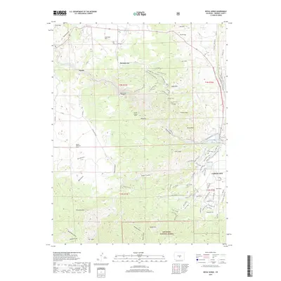
2019 Map of Royal Gorge
USGS Topo · Published 2019About this map
Buckskin Joe and the iconic Royal Gorge Bridge anchor this 2019 survey of the dramatic landscape west of Cañon City. The terrain is defined by the deep incision of the Arkansas River, which flows through the Royal Gorge, creating a complex network of canyons and peaks. This modern record details the intricate trail systems that have developed for recreation, including the Tunnel Drive Trail, Dream Weaver Trail, and Canyon Rim Trail, which skirt the cliffs and ridges of the Grand Canyon Hills and Gorge Hills.
Find a feature on this map
92 named features on this map. Tap any name to fly to it.
Don’t see what you’re looking for? This feature index may not catch every label — zoom into the map to look around manually.
Map Details
Editions of this 2019 Royal Gorge Map
This is the sole edition of this map. No revisions or reprints were ever made.
Other maps of this area

1889 · Canon City
USGS Topo · 1:125,000

1892 · Canon City
USGS Topo · 1:125,000

1894 · Pikes Peak
USGS Topo · 1:125,000

1901 · Pikes Peak
USGS Topo · 1:125,000

1942 · Cover Mtn.
USGS Topo · 1:62,500

1948 · Cover Mtn.
USGS Topo · 1:62,500

1954 · Cooper Mountain
USGS Topo · 1:24,000

1954 · Pueblo
USGS Topo · 1:250,000

1957 · Pueblo
USGS Topo · 1:250,000

1958 · Pueblo
USGS Topo · 1:250,000