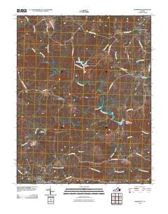
2010 Map of Rubermont
USGS Topo · Published 2010About this map
The Nottoway River meanders across this Lunenburg County landscape, serving as a primary drainage for numerous smaller waterways including Little Hounds Creek and Modest Creek. The area is characterized by scattered rural settlements such as Rubermont, Martins Corner, and Winnie, while the larger town of Victoria anchors the southwestern corner. The mapping detail shows a network of named country roads, such as Lewiston Plank Rd and Old School House Rd, which connect these small communities to family landmarks like Saint Marks Cemetery. Hydrographic features are prominent, with several water control structures including Hamilton Dam and The Falls Nottoway Falls Dam managing the local flow. This layout reflects a post-industrial Virginia Piedmont landscape where the older plantation-era names and schoolhouse roads persist alongside modern township boundaries like Plymouth.
Find a feature on this map
34 named features on this map. Tap any name to fly to it.
Don’t see what you’re looking for? This feature index may not catch every label — zoom into the map to look around manually.
Map Details
Editions of this 2010 Rubermont Map
This is the sole edition of this map. No revisions or reprints were ever made.
Other maps of this area

1891 · Farmville
USGS Topo · 1:125,000

1893 · Farmville
USGS Topo · 1:125,000

1947 · Roanoke
USGS Topo · 1:250,000

1953 · Greensboro
USGS Topo · 1:250,000

1954 · Greensboro
USGS Topo · 1:250,000

1955 · Chase City
USGS Topo · 1:62,500

1955 · Kenbridge
USGS Topo · 1:62,500

1958 · Crewe
USGS Topo · 1:62,500

1958 · Keysville
USGS Topo · 1:62,500

1959 · Roanoke
USGS Topo · 1:250,000