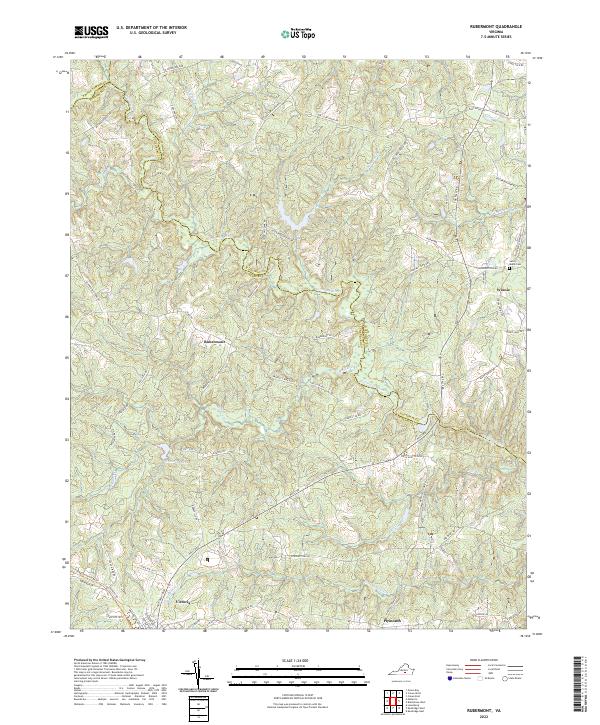
2022 Map of Rubermont
USGS Topo · Published 2022About this map
The Nottoway River meanders across this Southside Virginia landscape, forming the natural border between Nottoway and Lunenburg counties. The town of Victoria serves as a primary hub in the southwest, situated near the waters of Victoria Lake. The road network reveals deep-rooted local history through descriptive names like Lewiston Plank Rd and Poorhouse Rd, tracing travel patterns that have persisted for generations. Small rural communities and historic points of interest such as Rubermont, Winnie, and Saint Marks Cem are scattered throughout the wooded drainage basins of Modest Creek and Falls Cr. The map captures a transition from the structured street grid of Victoria to the winding country lanes like Snead Spring Rd and Hungarytown Rd, reflecting the region's enduring agricultural character.
Find a feature on this map
61 named features on this map. Tap any name to fly to it.
Don’t see what you’re looking for? This feature index may not catch every label — zoom into the map to look around manually.
Map Details
Editions of this 2022 Rubermont Map
This is the sole edition of this map. No revisions or reprints were ever made.
Other maps of this area

1891 · Farmville
USGS Topo · 1:125,000

1893 · Farmville
USGS Topo · 1:125,000

1947 · Roanoke
USGS Topo · 1:250,000

1953 · Greensboro
USGS Topo · 1:250,000

1954 · Greensboro
USGS Topo · 1:250,000

1955 · Chase City
USGS Topo · 1:62,500

1955 · Kenbridge
USGS Topo · 1:62,500

1958 · Crewe
USGS Topo · 1:62,500

1958 · Keysville
USGS Topo · 1:62,500

1959 · Roanoke
USGS Topo · 1:250,000