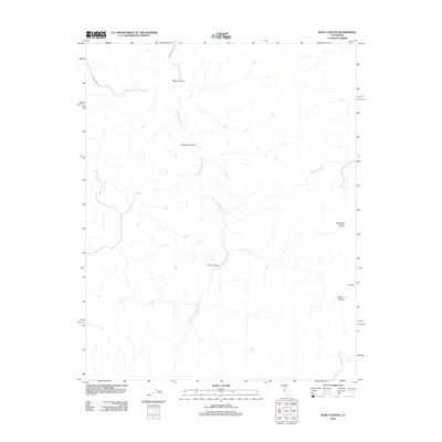
2012 Map of Ruby Canyon
USGS Topo · Published 2012About this map
S Fork Los Banos Cr carves a central path through this landscape, defining a network of deep drainages in the hills of Merced County. The 2012 topography highlights the isolated ranching and mining character of the region, anchored by Cleveland Ranch near the center of the sheet and the small settlement of Bonanza to the southeast. The terrain is dominated by significant elevations such as Ortigalita Ridge, which separates the various canyon systems.
Find a feature on this map
10 named features on this map. Tap any name to fly to it.
Don’t see what you’re looking for? This feature index may not catch every label — zoom into the map to look around manually.
Map Details
Editions of this 2012 Ruby Canyon Map
This is the sole edition of this map. No revisions or reprints were ever made.
Other maps of this area

1913 · Panoche
USGS Topo · 1:125,000

1919 · San Benito
USGS Topo · 1:62,500

1920 · Carrisalito Spring
USGS Topo · 1:31,680

1922 · Quien Sabe
USGS Topo · 1:62,500

1922 · Ortigalita
USGS Topo · 1:31,680

1931 · San Benito
USGS Topo · 1:62,500

1940 · Quien Sabe
USGS Topo · 1:62,500

1940 · San Benito
USGS Topo · 1:62,500

1943 · Ortigalita Peak
USGS Topo · 1:62,500

1944 · Panoche Valley
USGS Topo · 1:62,500