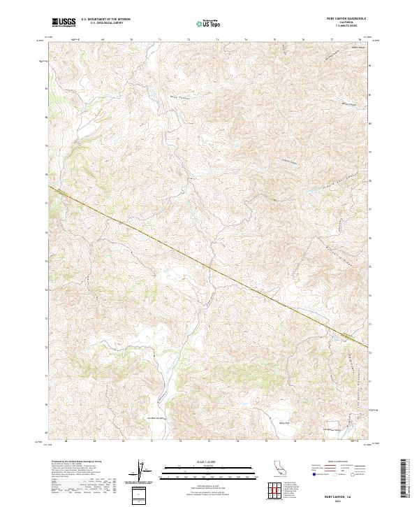
2021 Map of Ruby Canyon
USGS Topo · Published 2021About this map
The Diablo Range and the Las Aguilas Mountains dominate this 2021 survey, which captures the high, rugged boundary between Merced and San Benito counties. The landscape is defined by deep drainage systems such as Ruby Canyon, Buckeye Canyon, and Orogmen Canyon that cut through the sharp rise of Ortigalita Ridge. This modern topographic study reveals a terrain shaped by sparse water resources like S Fork Los Banos Cr and Las Aguilas Cr.
Find a feature on this map
25 named features on this map. Tap any name to fly to it.
Don’t see what you’re looking for? This feature index may not catch every label — zoom into the map to look around manually.
Map Details
Editions of this 2021 Ruby Canyon Map
This is the sole edition of this map. No revisions or reprints were ever made.
Other maps of this area

1913 · Panoche
USGS Topo · 1:125,000

1919 · San Benito
USGS Topo · 1:62,500

1920 · Carrisalito Spring
USGS Topo · 1:31,680

1922 · Quien Sabe
USGS Topo · 1:62,500

1922 · Ortigalita
USGS Topo · 1:31,680

1931 · San Benito
USGS Topo · 1:62,500

1940 · Quien Sabe
USGS Topo · 1:62,500

1940 · San Benito
USGS Topo · 1:62,500

1943 · Ortigalita Peak
USGS Topo · 1:62,500

1944 · Panoche Valley
USGS Topo · 1:62,500