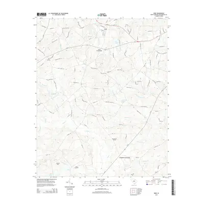
2014 Map of Ruby
USGS Topo · Published 2014About this map
Ruby and the surrounding Chesterfield County landscape are defined by a complex network of creeks and small family-named landmarks. The terrain transitions from the elevations of Johnsons Rock and the King Sand Hills in the south toward the drainage basins of Black Creek and Little Black Creek further north. Historical industry and land use are evident in features such as Douglass Millpond and Woodard Millpond, which sit alongside established junctions like Lees Crossroads and Campbell Crossroads. For genealogists, the map preserves the locations of several burial sites, including Ruby Cemetery, Cross Roads Cemetery, and Roscoe Cemetery. Roads such as Hallelujah Church Road and the surprisingly named Elvis Presley Boulevard weave through the rural landscape, connecting small homesteads and local watersheds like Hogpen Branch and Polecat Branch.
Find a feature on this map
118 named features on this map. Tap any name to fly to it.
Don’t see what you’re looking for? This feature index may not catch every label — zoom into the map to look around manually.
Map Details
Editions of this 2014 Ruby Map
This is the sole edition of this map. No revisions or reprints were ever made.
Other maps of this area

1941 · Spartanburg
USGS Topo · 1:250,000

1953 · Spartanburg
USGS Topo · 1:250,000

1960 · Spartanburg
USGS Topo · 1:250,000

1963 · Spartanburg
USGS Topo · 1:250,000

1964 · Spartanburg
USGS Topo · 1:250,000

1967 · Angelus
USGS Topo · 1:24,000

1968 · Chesterfield
USGS Topo · 1:24,000

1968 · Patrick
USGS Topo · 1:24,000

1968 · Middendorf
USGS Topo · 1:24,000

1968 · Ruby
USGS Topo · 1:24,000