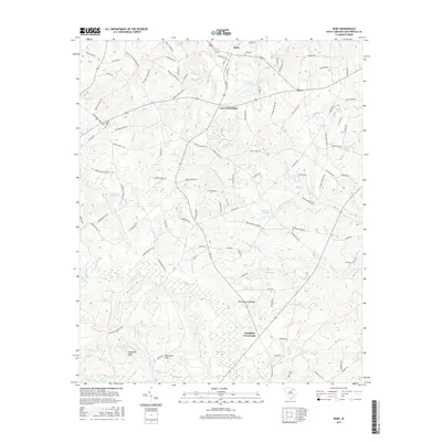
2017 Map of Ruby
USGS Topo · Published 2017About this map
Ruby and the surrounding Chesterfield County landscape are defined by a network of agricultural crossroads and winding tributaries. The town center is flanked by Ruby Cem, while the outlying areas are anchored by rural intersections like Lees Crossroads and Campbell Crossroads. This 2017 survey reveals a terrain shaped by water management and natural formations, including the distinct The Narrow Passage and the elevated King Sand Hills near Johnsons Rock.
Find a feature on this map
119 named features on this map. Tap any name to fly to it.
Don’t see what you’re looking for? This feature index may not catch every label — zoom into the map to look around manually.
Map Details
Editions of this 2017 Ruby Map
This is the sole edition of this map. No revisions or reprints were ever made.
Other maps of this area

1941 · Spartanburg
USGS Topo · 1:250,000

1953 · Spartanburg
USGS Topo · 1:250,000

1960 · Spartanburg
USGS Topo · 1:250,000

1963 · Spartanburg
USGS Topo · 1:250,000

1964 · Spartanburg
USGS Topo · 1:250,000

1967 · Angelus
USGS Topo · 1:24,000

1968 · Chesterfield
USGS Topo · 1:24,000

1968 · Patrick
USGS Topo · 1:24,000

1968 · Middendorf
USGS Topo · 1:24,000

1968 · Ruby
USGS Topo · 1:24,000