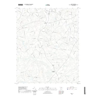
2020 Map of Ruby
USGS Topo · Published 2020About this map
Ruby and its surrounding Chesterfield County landscape are defined by a network of creeks and localized landmarks that reveal the area's rural character. The town is flanked by historic burial grounds, including the centrally located Ruby Cem and the more remote Roscoe Cem. The drainage patterns are intricate, with Little Black Cr and Big Bear Cr carving through the terrain, while man-made water features such as Douglass Millpond and Woodward Millpond indicate a history of local water management and milling. Small named settlements like Lees Crossroads and Campbell Crossroads serve as focal points for the road network, while the evocative The Narrow Passage suggests a unique topographical or navigational constraint. To the south, the terrain shifts near Johnsons Rock and the King Sand Hills, providing a distinct contrast to the creek-fed lowlands of the north.
Find a feature on this map
125 named features on this map. Tap any name to fly to it.
Don’t see what you’re looking for? This feature index may not catch every label — zoom into the map to look around manually.
Map Details
Editions of this 2020 Ruby Map
This is the sole edition of this map. No revisions or reprints were ever made.
Other maps of this area

1941 · Spartanburg
USGS Topo · 1:250,000

1953 · Spartanburg
USGS Topo · 1:250,000

1960 · Spartanburg
USGS Topo · 1:250,000

1963 · Spartanburg
USGS Topo · 1:250,000

1964 · Spartanburg
USGS Topo · 1:250,000

1967 · Angelus
USGS Topo · 1:24,000

1968 · Chesterfield
USGS Topo · 1:24,000

1968 · Patrick
USGS Topo · 1:24,000

1968 · Middendorf
USGS Topo · 1:24,000

1968 · Ruby
USGS Topo · 1:24,000