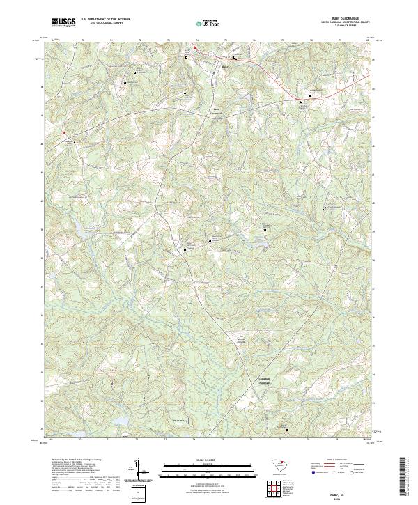
2024 Map of Ruby
USGS Topo · Published 2024About this map
The settlement of Ruby anchors the northern portion of this South Carolina landscape, characterized by a dense network of family-named cemeteries and rural churches. Genealogists can trace deep local roots through sites such as the Smith Family Cem, Gaddy Sellers Cem, and the White Oak Church Graveyard. The terrain is defined by the numerous tributaries feeding into Black Creek, including Little Black Creek and Poplar Branch.
Find a feature on this map
141 named features on this map. Tap any name to fly to it.
Don’t see what you’re looking for? This feature index may not catch every label — zoom into the map to look around manually.
Map Details
Editions of this 2024 Ruby Map
This is the sole edition of this map. No revisions or reprints were ever made.
Other maps of this area

1941 · Spartanburg
USGS Topo · 1:250,000

1953 · Spartanburg
USGS Topo · 1:250,000

1960 · Spartanburg
USGS Topo · 1:250,000

1963 · Spartanburg
USGS Topo · 1:250,000

1964 · Spartanburg
USGS Topo · 1:250,000

1967 · Angelus
USGS Topo · 1:24,000

1968 · Chesterfield
USGS Topo · 1:24,000

1968 · Patrick
USGS Topo · 1:24,000

1968 · Middendorf
USGS Topo · 1:24,000

1968 · Ruby
USGS Topo · 1:24,000