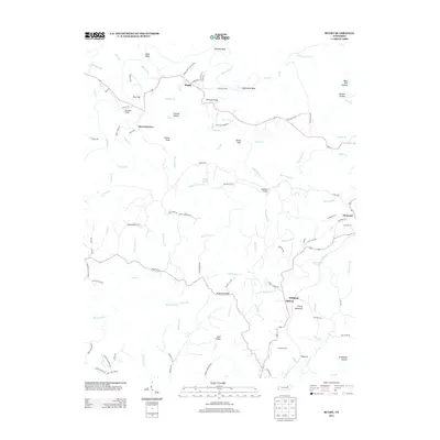
2013 Map of Rugby
USGS Topo · Published 2013About this map
The Victorian-era settlement of Rugby remains a focal point in this portion of Morgan County, where the topography is defined by the winding course of White Oak Cr and its many tributaries. The area's transportation history is evident in the transition from traditional water crossings like Wagon Ford Br and Whiteoak Bridge to the rail infrastructure that cuts through the southern landscape. The Cincinnati, New Orleans and Texas Pacific Railway corridor is marked by engineering feats such as Sixteen Tunnel and the Mud Cut near Graveyard Hollow, reflecting the difficult terrain encountered by early railroad builders.
Find a feature on this map
112 named features on this map. Tap any name to fly to it.
Don’t see what you’re looking for? This feature index may not catch every label — zoom into the map to look around manually.
Map Details
Editions of this 2013 Rugby Map
This is the sole edition of this map. No revisions or reprints were ever made.
Other maps of this area

1895 · Wartburg
USGS Topo · 1:125,000

1896 · Wartburg
USGS Topo · 1:125,000

1935 · Gobey
USGS Topo · 1:24,000

1935 · Pilot Mountain
USGS Topo · 1:24,000

1936 · Twin Bridges
USGS Topo · 1:24,000

1943 · Twin Bridges
USGS Topo · 1:24,000
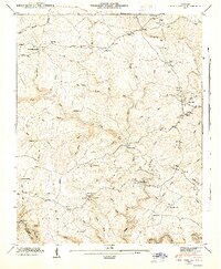
1945 · Twin Bridges
USGS Topo · 1:24,000
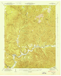
1946 · Gobey
USGS Topo · 1:24,000
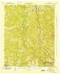
1946 · Pilot Mountain
USGS Topo · 1:24,000

1952 · Helenwood
USGS Topo · 1:24,000