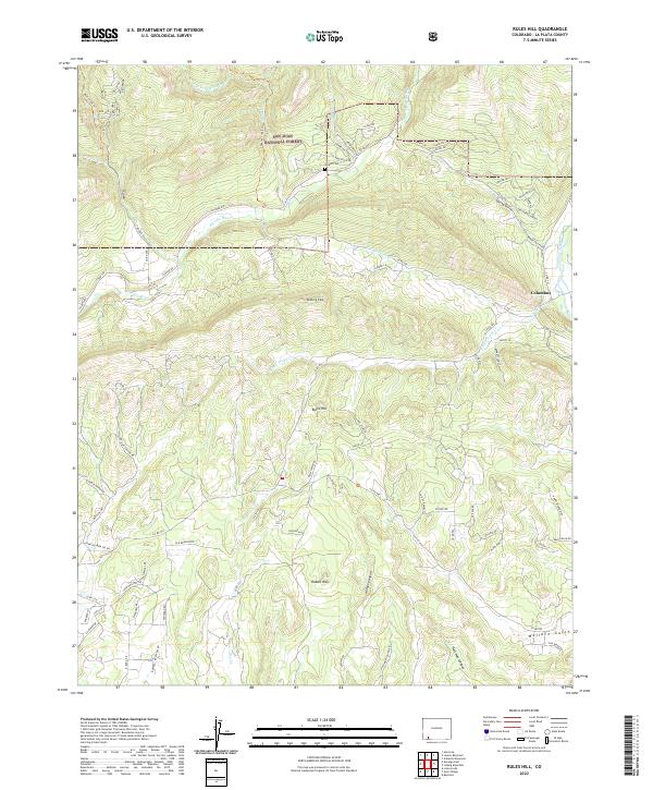
2022 Map of Rules Hill
USGS Topo · Published 2022About this map
The San Juan National Forest defines the northern reaches of this Colorado landscape, where the high-elevation terrain is carved by the Florida River and numerous drainage canyons. Near the intersection of several mountain roads, the Shreck Cem stands as a focal point for genealogical interest, situated just west of the Los Pinos River. The settlement of Columbus appears on the eastern edge of the quadrangle, connected to the surrounding valleys by a network of county roads including Co RD 501.
Find a feature on this map
85 named features on this map. Tap any name to fly to it.
Don’t see what you’re looking for? This feature index may not catch every label — zoom into the map to look around manually.
Map Details
Editions of this 2022 Rules Hill Map
This is the sole edition of this map. No revisions or reprints were ever made.
Other maps of this area

1898 · Durango
USGS Topo · 1:62,500

1907 · Durango
USGS Topo · 1:62,500

1908 · Ignacio
USGS Topo · 1:125,000

1908 · Durango
USGS Topo · 1:62,500

1924 · Ignacio
USGS Topo · 1:125,000

1945 · Durango
USGS Topo · 1:250,000

1953 · Durango
USGS Topo · 1:250,000

1954 · Durango
USGS Topo · 1:250,000

1961 · Durango
USGS Topo · 1:250,000

1963 · Durango
USGS Topo · 1:250,000