1997 Map of Ruo
USGS Topo · Published 2004About this map
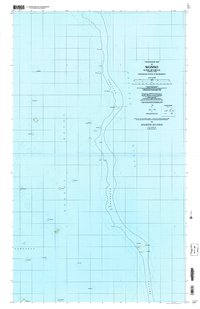
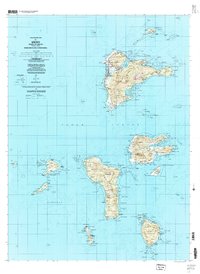
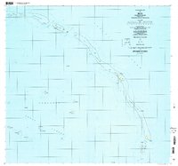
The small island of Ruo and its neighbors in the Northeast Islands are mapped in detail during the late 1990s, illustrating the dispersed settlement patterns of this atoll chain. Situated between the open Pacific Ocean and the Chuuk Lagoon, the geography is defined by narrow landmasses such as Ochoitiw and Fanochoetiw. These slender stretches of terrain connect larger reef nodes where local populations reside in villages like Winan, Plaitin, and Sopweru. Historical markers are evident in the presence of the North Bm 2 Ruins near the island center. To the south, the map details the distinct cluster of Etten, Moch, and Fannuk, where intricate coastal outlines and named channels like Mochenap indicate a complex maritime environment. The survey provides a clear look at the relationship between these remote outposts and the vast lagoon system during this period of the Federated States of Micronesia's history.
Find a feature on this map
51 named features on this map. Tap any name to fly to it.
Don’t see what you’re looking for? This feature index may not catch every label — zoom into the map to look around manually.
Map Details
Editions of this 1997 Ruo Map
This is the sole edition of this map. No revisions or reprints were ever made.