
1971 Map of Rupert
USGS Topo · Published 1973About this map
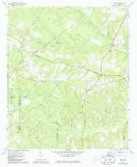
Seaboard Coast Line tracks bisect the landscape of Taylor County in this early 1970s survey, connecting the rural communities of Rupert and Charing. The area is characterized by a network of local congregations and family histories, including Mt Nebo Ch, Sand Bethel Ch, and Prosperity Ch. The topographical detail reveals a land defined by water and forest, where Whitewater Creek and Cedar Creek drain the undulating terrain.
Find a feature on this map
21 named features on this map. Tap any name to fly to it.
Don’t see what you’re looking for? This feature index may not catch every label — zoom into the map to look around manually.
Map Details
Editions of this 1971 Rupert Map
2 editions found
Other maps of this area

1955 · Phenix City
USGS Topo · 1:250,000

1957 · Phenix City
USGS Topo · 1:250,000

1958 · Phenix City
USGS Topo · 1:250,000

1971 · Ideal South
USGS Topo · 1:24,000

1971 · Ideal North
USGS Topo · 1:24,000

1971 · Ellaville North
USGS Topo · 1:24,000
1971 · Butler West
USGS Topo · 1:24,000

1971 · Tazewell South
USGS Topo · 1:24,000
1971 · Butler East
USGS Topo · 1:24,000
1971 · Junction City
USGS Topo · 1:24,000