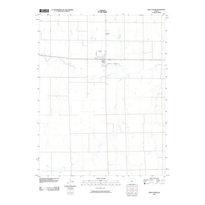
2009 Map of Rush Center
USGS Topo · Published 2009About this map
Rush Center serves as the focal point of this Rush County landscape, where the confluence of the regional road network meets the waters of Walnut Creek. The town's grid is clearly defined by local thoroughfares including State St, Center St, and Union St, illustrating the structured expansion of the settlement north of the creek's meandering path. To the north of town, the Locust Hill Cemetery provides a significant touchstone for genealogical research, while the Rush Center Oil Field highlights the area's industrial character in the early 21st century. The geography is further shaped by the extensive drainage systems of Otter Creek and its various tributaries, which carve through the plains south of the main settlement. This survey documents the intersection of rural agriculture and natural resource extraction in central Kansas.
Find a feature on this map
12 named features on this map. Tap any name to fly to it.
Don’t see what you’re looking for? This feature index may not catch every label — zoom into the map to look around manually.
Map Details
Editions of this 2009 Rush Center Map
This is the sole edition of this map. No revisions or reprints were ever made.
Other maps of this area

1889 · Larned
USGS Topo · 1:125,000

1891 · Larned
USGS Topo · 1:125,000

1896 · Hays
USGS Topo · 1:125,000

1955 · Great Bend
USGS Topo · 1:250,000

1957 · Great Bend
USGS Topo · 1:250,000

1958 · Great Bend
USGS Topo · 1:250,000

1966 · Rush Center
USGS Topo · 1:24,000

1966 · Nekoma
USGS Topo · 1:24,000

1966 · La Crosse
USGS Topo · 1:24,000

1966 · Hargrave
USGS Topo · 1:24,000