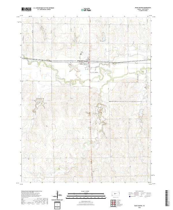
2022 Map of Rush Center
USGS Topo · Published 2022About this map
Rush Center serves as the focal point of this Kansas landscape, situated where the high plains are dissected by the meandering course of Walnut Cr. The town's grid is anchored by Main St and W Union St, reflecting a classic Midwestern settlement pattern centered on transportation and local commerce. North of the town center, Locust Hill Cem stands on a slight elevation, a vital landmark for genealogical research and local heritage.
Find a feature on this map
36 named features on this map. Tap any name to fly to it.
Don’t see what you’re looking for? This feature index may not catch every label — zoom into the map to look around manually.
Map Details
Editions of this 2022 Rush Center Map
This is the sole edition of this map. No revisions or reprints were ever made.
Other maps of this area

1889 · Larned
USGS Topo · 1:125,000

1891 · Larned
USGS Topo · 1:125,000

1896 · Hays
USGS Topo · 1:125,000

1955 · Great Bend
USGS Topo · 1:250,000

1957 · Great Bend
USGS Topo · 1:250,000

1958 · Great Bend
USGS Topo · 1:250,000

1966 · Rush Center
USGS Topo · 1:24,000

1966 · Nekoma
USGS Topo · 1:24,000

1966 · La Crosse
USGS Topo · 1:24,000

1966 · Hargrave
USGS Topo · 1:24,000