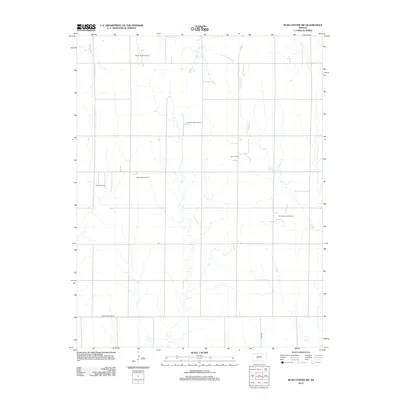
2012 Map of Rush Center SW
USGS Topo · Published 2012About this map
The Pawnee county line defines the southern edge of this West Central Kansas landscape, where the prairie economy is driven by subterranean resources. The terrain is defined by a series of north-flowing watercourses, most notably Old Maids Fork, which is flanked by the Sandy Cr and the winding Cocklebur Cr. These drainages cut through a grid of section roads that provide access to a localized petroleum industry.
Find a feature on this map
12 named features on this map. Tap any name to fly to it.
Don’t see what you’re looking for? This feature index may not catch every label — zoom into the map to look around manually.
Map Details
Editions of this 2012 Rush Center SW Map
This is the sole edition of this map. No revisions or reprints were ever made.
Other maps of this area

1889 · Larned
USGS Topo · 1:125,000

1891 · Larned
USGS Topo · 1:125,000

1892 · Ness
USGS Topo · 1:125,000

1894 · Ness
USGS Topo · 1:125,000

1955 · Great Bend
USGS Topo · 1:250,000

1957 · Great Bend
USGS Topo · 1:250,000

1958 · Great Bend
USGS Topo · 1:250,000

1966 · Alexander
USGS Topo · 1:24,000

1966 · Rush Center
USGS Topo · 1:24,000

1966 · Nekoma
USGS Topo · 1:24,000