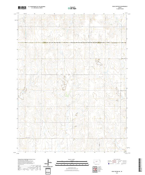
2022 Map of Rush Center SW
USGS Topo · Published 2022About this map
Rush and Pawnee Counties meet along a surveyed line defined by the drainage patterns of the high plains. The landscape is characterized by the branching headwaters of intermittent streams, including Cocklebur Cr and Old Maids Fork, which carve shallow draws into the prairie. This 2022 survey documents a strictly orthogonal road network that overlays the terrain, with routes like Ave X and Correction Line Rd marking the precise section lines of the Public Land Survey System. The transition from t19s r19w down to t21s r19w reveals the persistence of rural land divisions in central Kansas, where individual townships are defined by a grid of local roads such as CR 180 and CR 210. The presence of Sandy Cr and Otter Cr suggests the natural hydrology that still dictates the placement of property boundaries and local infrastructure in this agricultural region.
Find a feature on this map
20 named features on this map. Tap any name to fly to it.
Don’t see what you’re looking for? This feature index may not catch every label — zoom into the map to look around manually.
Map Details
Editions of this 2022 Rush Center SW Map
This is the sole edition of this map. No revisions or reprints were ever made.
Other maps of this area

1889 · Larned
USGS Topo · 1:125,000

1891 · Larned
USGS Topo · 1:125,000

1892 · Ness
USGS Topo · 1:125,000

1894 · Ness
USGS Topo · 1:125,000

1955 · Great Bend
USGS Topo · 1:250,000

1957 · Great Bend
USGS Topo · 1:250,000

1958 · Great Bend
USGS Topo · 1:250,000

1966 · Alexander
USGS Topo · 1:24,000

1966 · Rush Center
USGS Topo · 1:24,000

1966 · Nekoma
USGS Topo · 1:24,000