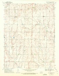
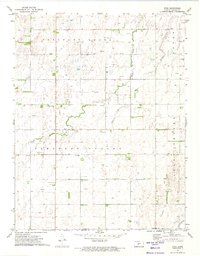
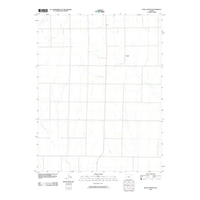
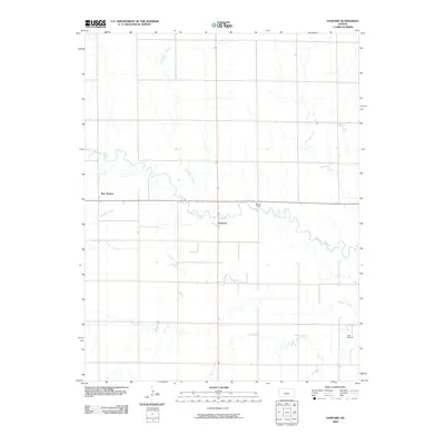
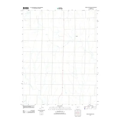
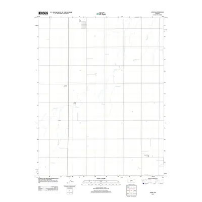
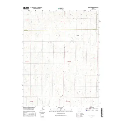
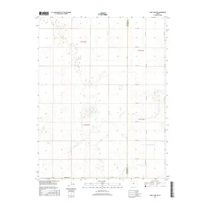
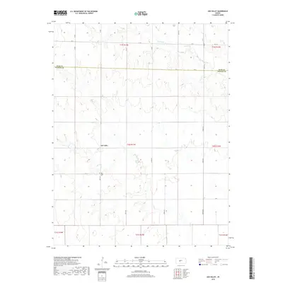
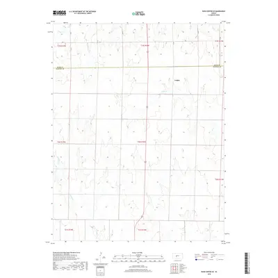
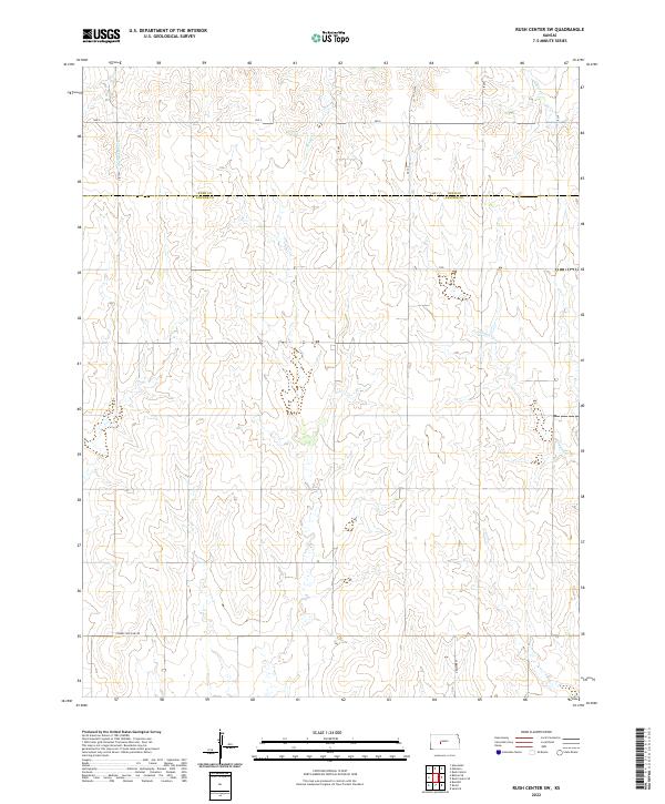
1970 Map of Rush Center SW
USGS Topo · Published 1972About this map
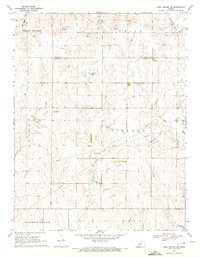
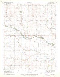
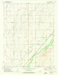
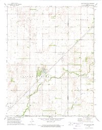
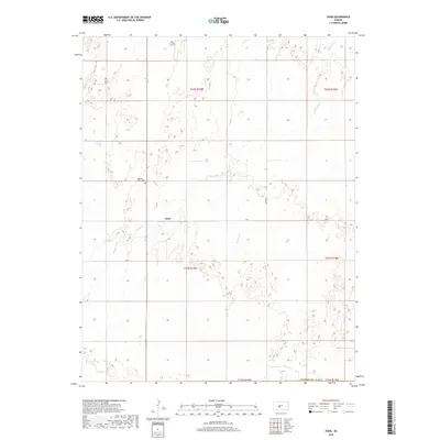
Oil exploration defines the rural landscape of the Rush Co Pawnee Co border region during the early 1970s. The map illustrates a concentration of petroleum production across several townships, including Shiley, Lincoln, and Union. Specific zones such as the Shiley North Oil Field and the Oro Oil Field are clearly delineated, connected by an underground network of Pipeline infrastructure.
Find a feature on this map
17 named features on this map. Tap any name to fly to it.
Don’t see what you’re looking for? This feature index may not catch every label — zoom into the map to look around manually.
Map Details
Editions of this 1970 Rush Center SW Map
This is the sole edition of this map. No revisions or reprints were ever made.
Historical Maps of Pawnee County Through Time
60 maps found
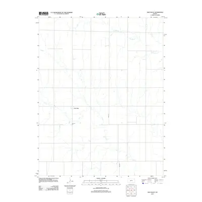
1970 Albert SE
Pawnee County, KS
1970 Ash Valley
Pawnee County, KS

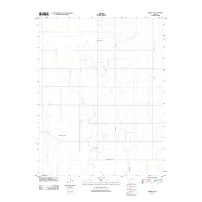
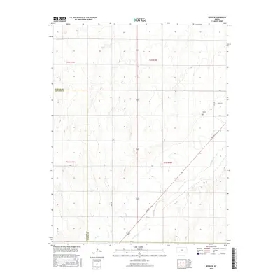
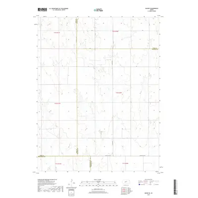
1970 Bazine SE
Pawnee County, KS
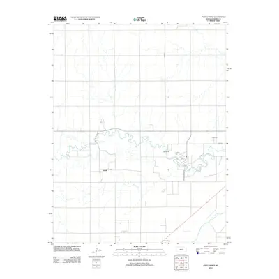
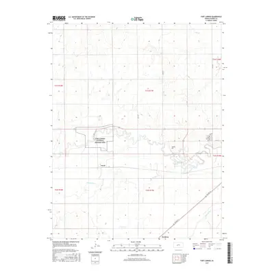
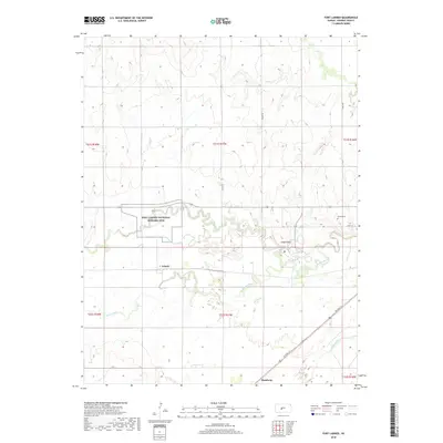
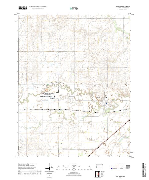
1970 Fort Larned
Pawnee County, KS
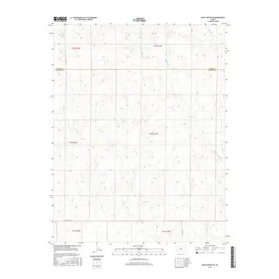
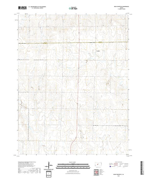
1970 Rush Center SE
Pawnee County, KS
1970 Rush Center SW
Pawnee County, KS
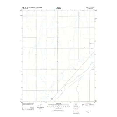
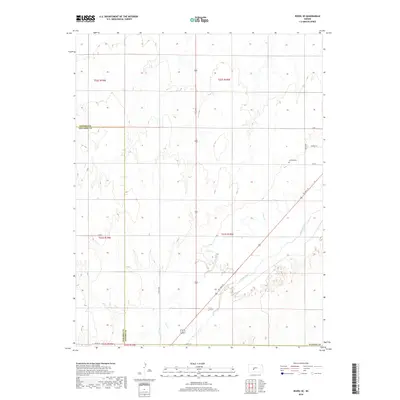
1970 Sanford
Pawnee County, KS
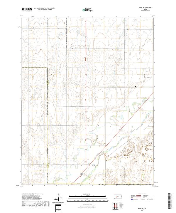
1972 Rozel SE
Pawnee County, KS
1972 Saint John SW
Pawnee County, KS
1972 Zook
Pawnee County, KS
2009 Albert SE
Pawnee County, KS
2009 Ash Valley
Pawnee County, KS
2009 Bazine SE
Pawnee County, KS
2009 Rozel SE
Pawnee County, KS
2009 Rush Center SE
Pawnee County, KS
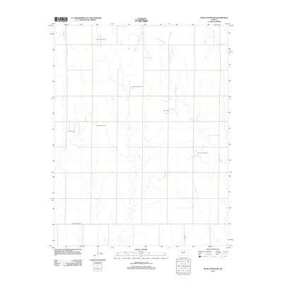
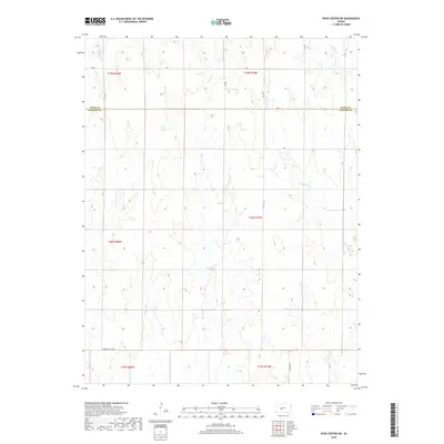
2009 Rush Center SW
Pawnee County, KS
2009 Saint John SW
Pawnee County, KS
2009 Sanford
Pawnee County, KS
2009 Zook
Pawnee County, KS
2010 Fort Larned
Pawnee County, KS
2012 Albert SE
Pawnee County, KS
2012 Ash Valley
Pawnee County, KS
2012 Bazine SE
Pawnee County, KS
2012 Fort Larned
Pawnee County, KS
2012 Rozel SE
Pawnee County, KS
2012 Rush Center SE
Pawnee County, KS
2012 Rush Center SW
Pawnee County, KS
2012 Saint John SW
Pawnee County, KS
2012 Sanford
Pawnee County, KS
2012 Zook
Pawnee County, KS
2015 Albert SE
Pawnee County, KS
2015 Ash Valley
Pawnee County, KS
2015 Bazine SE
Pawnee County, KS
2015 Fort Larned
Pawnee County, KS
2015 Rozel SE
Pawnee County, KS
2015 Rush Center SE
Pawnee County, KS
2015 Rush Center SW
Pawnee County, KS
2015 Saint John SW
Pawnee County, KS
2015 Sanford
Pawnee County, KS
2016 Zook
Pawnee County, KS
2018 Albert SE
Pawnee County, KS
2018 Ash Valley
Pawnee County, KS
2018 Bazine SE
Pawnee County, KS
2018 Fort Larned
Pawnee County, KS
2018 Rozel SE
Pawnee County, KS
2018 Rush Center SE
Pawnee County, KS
2018 Rush Center SW
Pawnee County, KS
2018 Saint John SW
Pawnee County, KS
2018 Sanford
Pawnee County, KS
2018 Zook
Pawnee County, KS
2022 Albert SE
Pawnee County, KS
2022 Ash Valley
Pawnee County, KS
2022 Bazine SE
Pawnee County, KS
2022 Fort Larned
Pawnee County, KS
2022 Rozel SE
Pawnee County, KS
2022 Rush Center SE
Pawnee County, KS
2022 Rush Center SW
Pawnee County, KS
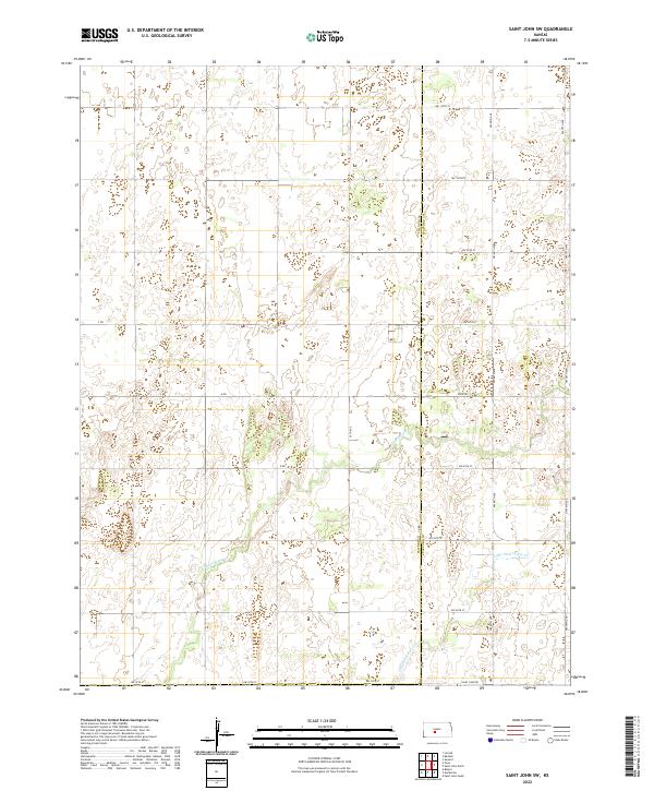
2022 Saint John SW
Pawnee County, KS
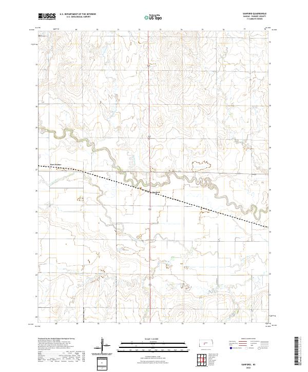
2022 Sanford
Pawnee County, KS
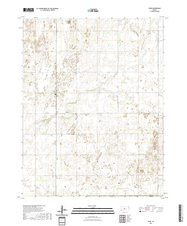
2022 Zook
Pawnee County, KS