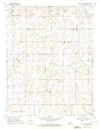
1970 Map of Rush Center SW
USGS Topo · Published 1972About this map
Oil exploration defines the rural landscape of the Rush Co Pawnee Co border region during the early 1970s. The map illustrates a concentration of petroleum production across several townships, including Shiley, Lincoln, and Union. Specific zones such as the Shiley North Oil Field and the Oro Oil Field are clearly delineated, connected by an underground network of Pipeline infrastructure.
Find a feature on this map
17 named features on this map. Tap any name to fly to it.
Don’t see what you’re looking for? This feature index may not catch every label — zoom into the map to look around manually.
Map Details
Editions of this 1970 Rush Center SW Map
This is the sole edition of this map. No revisions or reprints were ever made.
Other maps of this area

1889 · Larned
USGS Topo · 1:125,000

1891 · Larned
USGS Topo · 1:125,000

1892 · Ness
USGS Topo · 1:125,000

1894 · Ness
USGS Topo · 1:125,000

1955 · Great Bend
USGS Topo · 1:250,000

1957 · Great Bend
USGS Topo · 1:250,000

1958 · Great Bend
USGS Topo · 1:250,000

1966 · Alexander
USGS Topo · 1:24,000

1966 · Rush Center
USGS Topo · 1:24,000

1966 · Nekoma
USGS Topo · 1:24,000