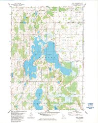
1983 Map of Rush Lake
USGS Topo · Published 1984About this map
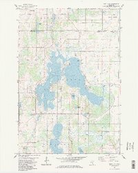
Waterways and wetlands dominate this portion of the East Central Minnesota landscape, where the sprawling basin of Rush Lake and the southern Fish Lake are connected by a network of creeks and marshes. The map documents the rural community structure of the early 1980s, anchored by small settlements like Rush Point and Greely, and the town of Harris to the southeast. Family and community history is etched into the land through several cemeteries including Royalton Memorial Cem and Free Mission Cem, alongside local landmarks like Rush Lake Ch. The intricate shoreline of Rush Lake, featuring La Belle Island, reflects a landscape shaped by glacial activity, where early road networks and drainage projects like County Ditch No 8 were established to manage the low-lying terrain between Pine Lake and Goose Lake.
Find a feature on this map
30 named features on this map. Tap any name to fly to it.
Don’t see what you’re looking for? This feature index may not catch every label — zoom into the map to look around manually.
Map Details
Editions of this 1983 Rush Lake Map
2 editions found
Other maps of this area

1950 · Rush City
USGS Topo · 1:48,000

1953 · Stillwater
USGS Topo · 1:250,000

1955 · Rush City
USGS Topo · 1:62,500

1955 · Stillwater
USGS Topo · 1:250,000

1958 · Stillwater
USGS Topo · 1:250,000

1961 · Cambridge
USGS Topo · 1:62,500

1961 · Brook Park
USGS Topo · 1:62,500

1961 · Pine City
USGS Topo · 1:62,500

1965 · Stillwater
USGS Topo · 1:250,000

1975 · Stillwater
USGS Topo · 1:250,000