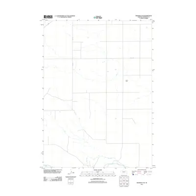
2011 Map of Rushville NE
USGS Topo · Published 2011About this map
Niobrara River flows through this Sheridan County landscape, where the High Plains terrain is marked by the distinct elevation of Lone Butte. This 2011 survey illustrates the rural grid of the Nebraska panhandle, characterized by long, straight sections like Road 1285 that service isolated farmsteads and agricultural plots. The southern portion of the map is defined by the winding course of Rush Creek as it approaches its confluence with the larger river system. Local infrastructure is minimal, centered primarily on the transport network including Cemetery Rd, which hints at the locations of historical community burial grounds or vanished settlements typical of this sparsely populated region.
Find a feature on this map
5 named features on this map. Tap any name to fly to it.
Don’t see what you’re looking for? This feature index may not catch every label — zoom into the map to look around manually.
Map Details
Editions of this 2011 Rushville NE Map
This is the sole edition of this map. No revisions or reprints were ever made.
Other maps of this area

1955 · Alliance
USGS Topo · 1:250,000

1957 · Alliance
USGS Topo · 1:250,000

1958 · Alliance
USGS Topo · 1:250,000

1966 · Rushville
USGS Topo · 1:24,000

1966 · Rushville SW
USGS Topo · 1:24,000

1969 · Rushville 4 SW
USGS Topo · 1:24,000

1969 · Gordon
USGS Topo · 1:24,000

1969 · Clinton
USGS Topo · 1:24,000

1969 · Clinton SW
USGS Topo · 1:24,000

1969 · Rushville SE
USGS Topo · 1:24,000