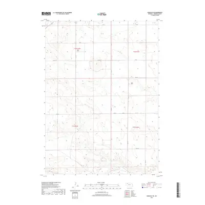
2017 Map of Rushville NE
USGS Topo · Published 2017About this map
Lone Butte rises above the high plains of Sheridan County, serving as a primary landmark in a landscape defined by seasonal drainages and a rigorous section-line road network. The terrain is dominated by the upper reaches of Sand Draw in the northwest and Rush Cr in the south, illustrating the subtle but essential water sources that dictate land use in this part of the Nebraska Panhandle.
Find a feature on this map
24 named features on this map. Tap any name to fly to it.
Don’t see what you’re looking for? This feature index may not catch every label — zoom into the map to look around manually.
Map Details
Editions of this 2017 Rushville NE Map
This is the sole edition of this map. No revisions or reprints were ever made.
Other maps of this area

1955 · Alliance
USGS Topo · 1:250,000

1957 · Alliance
USGS Topo · 1:250,000

1958 · Alliance
USGS Topo · 1:250,000
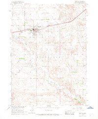
1966 · Rushville
USGS Topo · 1:24,000
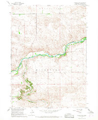
1966 · Rushville SW
USGS Topo · 1:24,000
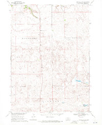
1969 · Rushville 4 SW
USGS Topo · 1:24,000
1969 · Gordon
USGS Topo · 1:24,000
1969 · Clinton
USGS Topo · 1:24,000
1969 · Clinton SW
USGS Topo · 1:24,000
1969 · Rushville SE
USGS Topo · 1:24,000