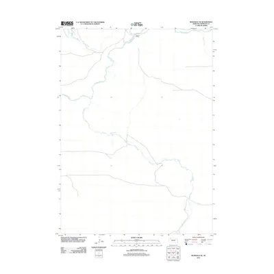
2011 Map of Rushville SE
USGS Topo · Published 2011About this map
The Niobrara River winds across this Sheridan County landscape, serving as the primary drainage for the surrounding sandhills and plains. This 2011 survey captures the hydrological network of the region, where the river is joined by northern tributaries such as Rush Creek and southern flows from Deer Creek. The waterway remains a defining feature of the local topography, influencing the placement of local infrastructure like the Furman Bridge, which provides one of the few crossings in this sparse section of the High Plains. The map's sparse labels reflect the open, ranch-driven character of the area, where water sources and established river crossings dictate the movement of both people and livestock across the prairie.
Find a feature on this map
4 named features on this map. Tap any name to fly to it.
Don’t see what you’re looking for? This feature index may not catch every label — zoom into the map to look around manually.
Map Details
Editions of this 2011 Rushville SE Map
This is the sole edition of this map. No revisions or reprints were ever made.
Other maps of this area

1948 · Twin Lakes
USGS Topo · 1:62,500

1948 · Spade Ranch
USGS Topo · 1:62,500

1950 · Twin Lakes
USGS Topo · 1:62,500

1950 · Spade Ranch
USGS Topo · 1:62,500

1955 · Alliance
USGS Topo · 1:250,000

1957 · Alliance
USGS Topo · 1:250,000

1958 · Alliance
USGS Topo · 1:250,000

1966 · Rushville
USGS Topo · 1:24,000

1966 · Rushville SW
USGS Topo · 1:24,000

1969 · Rushville 4 SW
USGS Topo · 1:24,000