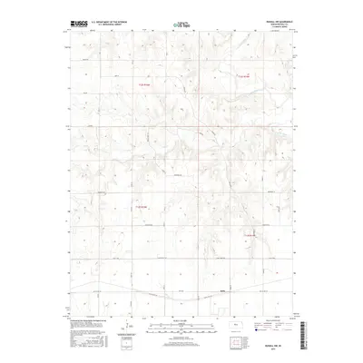
2015 Map of Russell NW
USGS Topo · Published 2015About this map
Balta anchors the southern portion of this landscape where the historical corridor of Old Us Hwy 40 and Balta Rd intersect. This region of central Kansas is defined by the winding course of the Saline River in the north and the seasonal drainage of Salt Cr and Fossil Cr. The terrain is marked by a complex network of rural infrastructure, including Dam Rd and Reservoir Rd, which trace the higher ground above the river valleys. Local transportation is facilitated by a strictly gridded system of numbered section roads, such as 180th St and 15th Street Rd, typical of the Great Plains' legal land survey system. The topography reveals significant elevation changes between the river bluffs and the southern plains, where Shoreline Rd skirts the edges of the local watershed boundaries.
Find a feature on this map
28 named features on this map. Tap any name to fly to it.
Don’t see what you’re looking for? This feature index may not catch every label — zoom into the map to look around manually.
Map Details
Editions of this 2015 Russell NW Map
This is the sole edition of this map. No revisions or reprints were ever made.
Other maps of this area
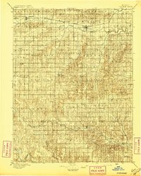
1896 · Osborne
USGS Topo · 1:125,000
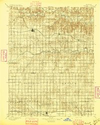
1896 · Russell
USGS Topo · 1:125,000
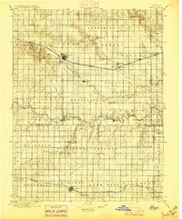
1896 · Hays
USGS Topo · 1:125,000
1896 · Plainville
USGS Topo · 1:125,000

1955 · Great Bend
USGS Topo · 1:250,000

1955 · Beloit
USGS Topo · 1:250,000

1957 · Great Bend
USGS Topo · 1:250,000

1958 · Great Bend
USGS Topo · 1:250,000

1959 · Beloit
USGS Topo · 1:250,000
1961 · Walker
USGS Topo · 1:24,000