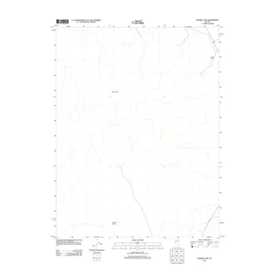
2011 Map of Russell Spit
USGS Topo · Published 2011About this map
Desert Peak stands as a prominent landmark in this section of Lyon County, where the high desert landscape is defined by its arid topography and intermittent drainage patterns. Surveyed by the U. S. Geological Survey using 2010 imagery, the map reveals a remote expanse where human activity is limited to a few arterial routes. In the northeast corner, the curious formation of Russell Spit marks the terrain near the county boundary, while the southern reaches are grounded by the presence of Painted Mesa. This 2011 edition provides a precise view of the natural relief and landforms before modern development, serving as a primary resource for those studying the physical geography and undeveloped areas of western Nevada.
Find a feature on this map
3 named features on this map. Tap any name to fly to it.
Don’t see what you’re looking for? This feature index may not catch every label — zoom into the map to look around manually.
Map Details
Editions of this 2011 Russell Spit Map
This is the sole edition of this map. No revisions or reprints were ever made.
Other maps of this area

1908 · Carson Sink
USGS Topo · 1:250,000

1910 · Carson Sink
USGS Topo · 1:250,000

1951 · Carson Lake
USGS Topo · 1:62,500

1951 · Allen Springs
USGS Topo · 1:62,500

1951 · Weber Reservoir
USGS Topo · 1:62,500

1951 · Fallon
USGS Topo · 1:62,500

1957 · Reno
USGS Topo · 1:250,000

1959 · Reno
USGS Topo · 1:250,000

1960 · Reno
USGS Topo · 1:250,000

1979 · Fallon
USGS Topo · 1:100,000