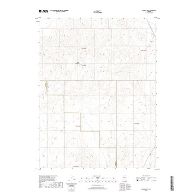
2018 Map of Russell Spit
USGS Topo · Published 2018About this map
Desert Peak and the high ridges of the Desert Mountains dominate this high-desert landscape in northern Nevada. The topography is defined by the sharp elevations of the range, giving way to the sheltered expanse of Long Valley and the distinctive geological formation of Painted Mesa to the south. This 2018 survey documents a remote corridor where the border between Lyon County and Churchill County cuts through the desert terrain. Significant landmarks for navigation and land management include the elevated vantage points of Russell Pass and Russell Spit in the northeastern quadrant, providing essential geographic markers in a region otherwise characterized by its intricate contour patterns and natural arid features.
Find a feature on this map
11 named features on this map. Tap any name to fly to it.
Don’t see what you’re looking for? This feature index may not catch every label — zoom into the map to look around manually.
Map Details
Editions of this 2018 Russell Spit Map
This is the sole edition of this map. No revisions or reprints were ever made.
Other maps of this area
1908 · Carson Sink
USGS Topo · 1:250,000
1910 · Carson Sink
USGS Topo · 1:250,000
1951 · Carson Lake
USGS Topo · 1:62,500
1951 · Allen Springs
USGS Topo · 1:62,500
1951 · Weber Reservoir
USGS Topo · 1:62,500
1951 · Fallon
USGS Topo · 1:62,500
1957 · Reno
USGS Topo · 1:250,000
1959 · Reno
USGS Topo · 1:250,000
1960 · Reno
USGS Topo · 1:250,000
1979 · Fallon
USGS Topo · 1:100,000