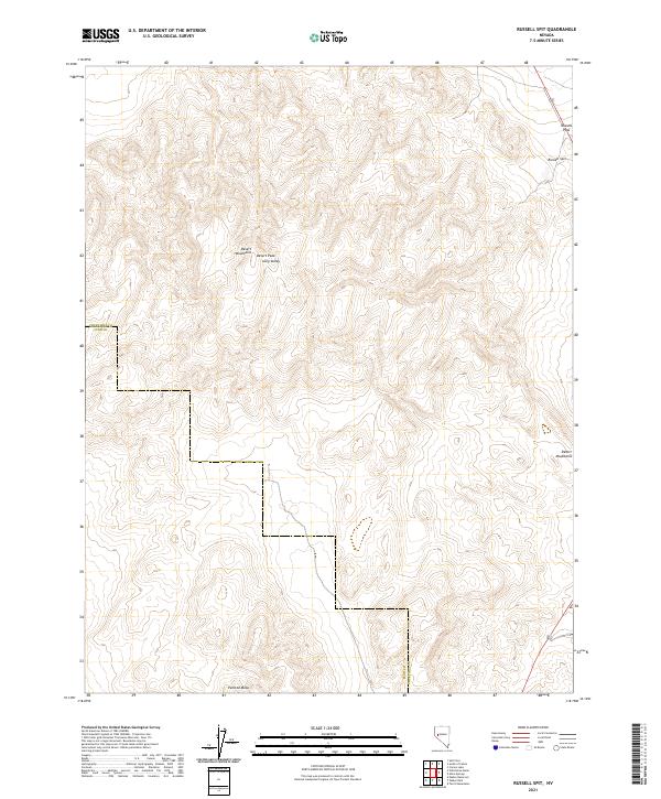
2021 Map of Russell Spit
USGS Topo · Published 2021About this map
Desert Peak and the high ridges of the Desert Mountains anchor this high-desert landscape along the border of Churchill and Lyon counties. The terrain is defined by dramatic elevation shifts, where steep ridgelines descend into the corridor of Long Valley and broaden out toward the south at the foot of Painted Mesa. To the northeast, the distinct landforms of Russell Pass and Russell Spit provide clear evidence of the area's geological and hydrological history, likely representing ancient shoreline features or narrow transit corridors through the range. This 2021 survey details the township and range system across t16n r28e, t16n r29e, t15n r28e, and t15n r29e, illustrating how public land survey lines are overlaid upon a complex topography of mesas and peaks.
Find a feature on this map
12 named features on this map. Tap any name to fly to it.
Don’t see what you’re looking for? This feature index may not catch every label — zoom into the map to look around manually.
Map Details
Editions of this 2021 Russell Spit Map
This is the sole edition of this map. No revisions or reprints were ever made.
Other maps of this area

1908 · Carson Sink
USGS Topo · 1:250,000

1910 · Carson Sink
USGS Topo · 1:250,000

1951 · Carson Lake
USGS Topo · 1:62,500

1951 · Allen Springs
USGS Topo · 1:62,500

1951 · Weber Reservoir
USGS Topo · 1:62,500

1951 · Fallon
USGS Topo · 1:62,500

1957 · Reno
USGS Topo · 1:250,000

1959 · Reno
USGS Topo · 1:250,000

1960 · Reno
USGS Topo · 1:250,000

1979 · Fallon
USGS Topo · 1:100,000