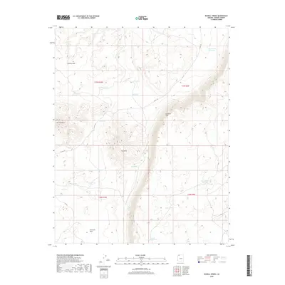
2018 Map of Russell Spring
USGS Topo · Published 2018About this map
Russell Spring sits at the base of the prominent Hurricane Cliffs, a defining geological feature of this Mohave County landscape. The distribution of water resources like Sunshine Tank, Carroll Catchment Tank, and Hidden Tank suggests a territory managed for livestock grazing and rangeland use. These essential water points are scattered across the high desert terrain, connected by primitive routes such as Co HWY 105 and Co RD 5. Distinctive elevations like Diamond Butte and Twin Butte provide clear landmarks for navigation through the drainage systems of Hurricane Wash. The named reservoirs, including Sheep Pockets Reservoir and J W Spendlove Reservoir, reflect the history of local landholders and the logistical necessity of water storage in this arid environment.
Find a feature on this map
28 named features on this map. Tap any name to fly to it.
Don’t see what you’re looking for? This feature index may not catch every label — zoom into the map to look around manually.
Map Details
Editions of this 2018 Russell Spring Map
This is the sole edition of this map. No revisions or reprints were ever made.
Other maps of this area
1886 · Mt. Trumbull
USGS Topo · 1:250,000
1892 · Mt. Trumbull
USGS Topo · 1:250,000

1953 · Grand Canyon
USGS Topo · 1:250,000

1957 · Grand Canyon
USGS Topo · 1:250,000

1958 · Grand Canyon
USGS Topo · 1:250,000
1960 · Grand Canyon
USGS Topo · 1:250,000
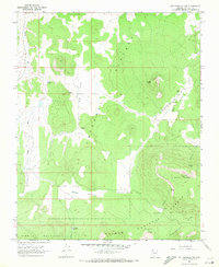
1967 · Mt. Trumbull NW
USGS Topo · 1:24,000
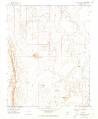
1971 · Antelope Knoll
USGS Topo · 1:24,000
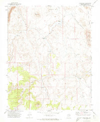
1971 · Moriah Knoll
USGS Topo · 1:24,000
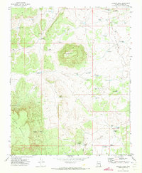
1971 · Poverty Knoll
USGS Topo · 1:24,000