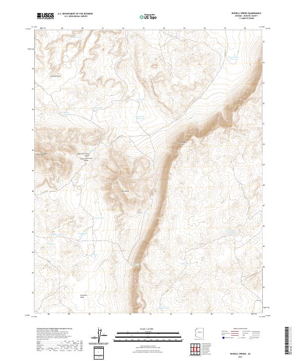
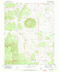
2021 Map of Russell Spring
USGS Topo · Published 2021About this map
Hurricane Cliffs dominate the eastern reaches of this Mohave County landscape, creating a dramatic topographical division between the high plateau and the valley floors below. This arid terrain is defined by its water management history, featuring a dense network of catchments and storage points including the J W Spendlove Reservoir, McCullan Reservoir, and Sheep Pockets Reservoir. The presence of numerous smaller features like Guaranteed Pond and Chic Pond suggests a land heavily utilized for livestock grazing and rangeland management. Landforms such as Diamond Butte and Twin Butte serve as prominent navigational landmarks across the Upper Hurricane Valley and Lower Hurricane Valley, while Co HWY 105 and Co RD 5 provide the primary access through the Hurricane Wash drainage system. At the heart of this network lies Russell Spring, a vital natural water source in a region otherwise dependent on engineered tanks.
Find a feature on this map
30 named features on this map. Tap any name to fly to it.
Don’t see what you’re looking for? This feature index may not catch every label — zoom into the map to look around manually.
Map Details
Editions of this 2021 Russell Spring Map
This is the sole edition of this map. No revisions or reprints were ever made.
Other maps of this area

1886 · Mt. Trumbull
USGS Topo · 1:250,000

1892 · Mt. Trumbull
USGS Topo · 1:250,000

1953 · Grand Canyon
USGS Topo · 1:250,000

1957 · Grand Canyon
USGS Topo · 1:250,000

1958 · Grand Canyon
USGS Topo · 1:250,000

1960 · Grand Canyon
USGS Topo · 1:250,000
1967 · Mt. Trumbull NW
USGS Topo · 1:24,000
1971 · Antelope Knoll
USGS Topo · 1:24,000
1971 · Moriah Knoll
USGS Topo · 1:24,000
1971 · Poverty Knoll
USGS Topo · 1:24,000