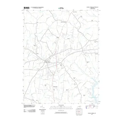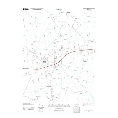
2023 Map of Russell Springs
USGS Topo · Published 2023About this map
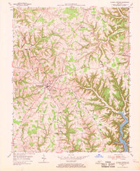
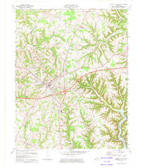
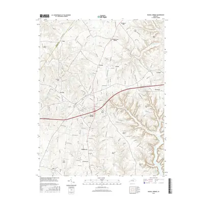
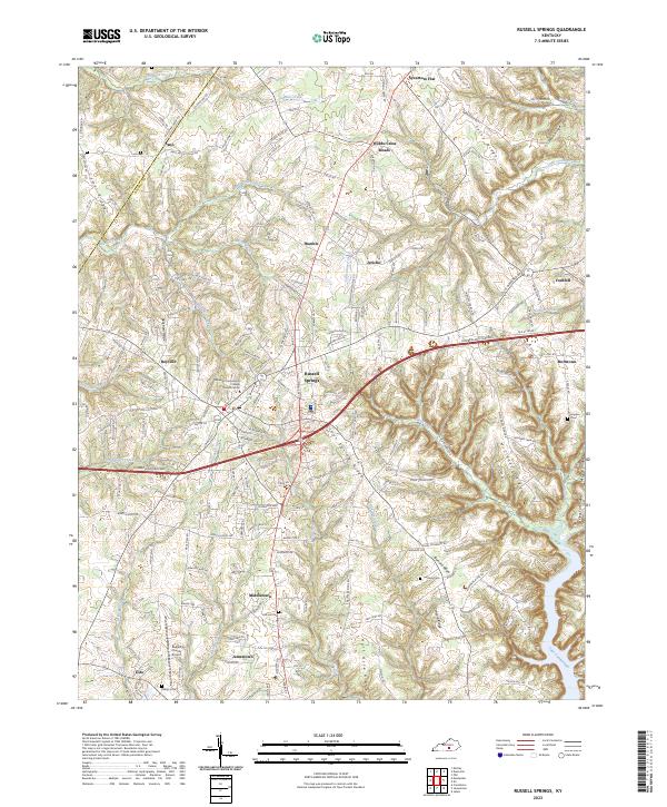
Russell Springs and Jamestown anchor this central Russell County landscape, where the plateau begins its descent toward the northern fingers of Lake Cumberland. The modern corridor of the Cumberland Parkway cuts across the center, connecting outlying communities like Webbs Cross Roads and Fonthill. The terrain is defined by a dense network of high ridges, including Clear Spring Ridge, McClendon Ridge, and Half Acre Ridge, which dictate the local road patterns and historical settlement boundaries.
Find a feature on this map
42 named features on this map. Tap any name to fly to it.
Don’t see what you’re looking for? This feature index may not catch every label — zoom into the map to look around manually.
Map Details
Editions of this 2023 Russell Springs Map
This is the sole edition of this map. No revisions or reprints were ever made.
Historical Maps of Russell Springs Through Time
7 maps found