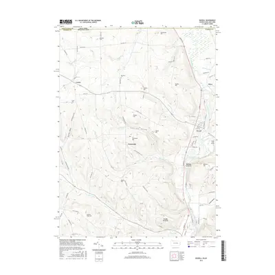
2016 Map of Russell
USGS Topo · Published 2016About this map
Conewango Creek defines the eastern valley of this landscape, carving a path through the borderlands between Chautauqua County, New York, and Warren County, Pennsylvania. The map illustrates a network of small upland settlements and valley communities, including Russell, Lander, and the northern edge of North Warren. These locales are connected by a system of rural routes like Old State Rd and Market St, which follow the natural contours of the surrounding high ground.
Find a feature on this map
87 named features on this map. Tap any name to fly to it.
Don’t see what you’re looking for? This feature index may not catch every label — zoom into the map to look around manually.
Map Details
Editions of this 2016 Russell Map
This is the sole edition of this map. No revisions or reprints were ever made.
Other maps of this area

1904 · Chautaqua
USGS Topo · 1:62,500

1905 · Jamestown
USGS Topo · 1:62,500

1906 · Warren
USGS Topo · 1:62,500

1907 · Warren
USGS Topo · 1:62,500

1908 · Warren
USGS Topo · 1:62,500

1926 · Youngsville
USGS Topo · 1:62,500

1929 · Youngsville
USGS Topo · 1:62,500

1941 · Chautauqua
USGS Topo · 1:62,500

1942 · Jamestown
USGS Topo · 1:62,500

1943 · Youngsville
USGS Topo · 1:62,500